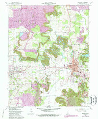
1961 Map of Boonville
USGS Topo · Published 1988About this map
The industrial and civic heart of Warrick County is captured here in the early 1960s, centered on the city of Boonville. The landscape reveals a complex history of land use, where extensive areas are marked as Reclaimed Strip Mine alongside active operations like the Shaw Mine and Houston Mine. This transition from active coal extraction to reclaimed terrain is particularly evident around Scales Lake County Park and the headwaters of Cypress Creek.
Find a feature on this map
64 named features on this map. Tap any name to fly to it.
Don’t see what you’re looking for? This feature index may not catch every label — zoom into the map to look around manually.
Map Details
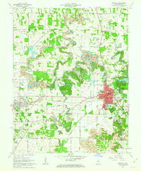
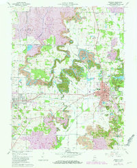
Editions of this 1961 Boonville Map
3 editions found
Other maps of this area

1900 · De Gonia Springs
USGS Topo · 1:62,500

1901 · Owensboro
USGS Topo · 1:62,500

1902 · Ditney
USGS Topo · 1:125,000

1902 · Degonia Springs
USGS Topo · 1:62,500

1902 · Boonville
USGS Topo · 1:62,500

1905 · Newburg
USGS Topo · 1:62,500

1951 · Yankeetown
USGS Topo · 1:24,000

1952 · Newburgh
USGS Topo · 1:24,000

1954 · Evansville
USGS Topo · 1:250,000
1954 · Richland
USGS Topo · 1:24,000