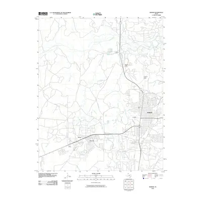
2010 Map of Borger
USGS Topo · Published 2010About this map
Borger serves as the industrial and residential hub of this High Plains landscape, situated just south of the Canadian River. The town's layout reflects its 20th-century growth, characterized by a dense grid of streets like N Main St and S Florida St, surrounded by specialized industrial and suburban pockets. Notable developments include the outlying residential areas of Electric City to the north and the clustered communities of Philrich and Bunavista to the west.
Find a feature on this map
38 named features on this map. Tap any name to fly to it.
Don’t see what you’re looking for? This feature index may not catch every label — zoom into the map to look around manually.
Map Details
Editions of this 2010 Borger Map
This is the sole edition of this map. No revisions or reprints were ever made.
Other maps of this area

1939 · Sanford
USGS Topo · 1:62,500

1953 · Sanford
USGS Topo · 1:24,000

1953 · Plemons
USGS Topo · 1:24,000

1953 · Stinnett
USGS Topo · 1:24,000

1953 · Deal
USGS Topo · 1:24,000

1953 · Borger SE
USGS Topo · 1:24,000

1953 · McBride
USGS Topo · 1:24,000

1953 · Phillips
USGS Topo · 1:24,000

1953 · Borger
USGS Topo · 1:24,000

1954 · Amarillo
USGS Topo · 1:250,000