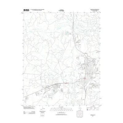
2012 Map of Borger
USGS Topo · Published 2012About this map
The industrial and educational landscape of the Texas Panhandle is captured here, centered on the diverse neighborhoods of Borger. The map illustrates the area's development through distinct settlements like Bunavista and Philrich, alongside the specialized enclave of Electric City. This region's identity is inextricably linked to the energy sector, evidenced by the Pantex Oil Field and the Johnson Tank Farm near the Canadian River. Educational and transport hubs serve as local anchors, including Frank Phillips Coll and Highland Park, with the Hutchinson County Airport situated to the northeast. Water features such as Weatherly Lake and the complex drainage of W Hill Cr and Rock Cr provide a natural counterpoint to the extensive local road network, which includes historic routes like the Old Stinnett Hwy and the community-oriented streets of the central district.
Find a feature on this map
142 named features on this map. Tap any name to fly to it.
Don’t see what you’re looking for? This feature index may not catch every label — zoom into the map to look around manually.
Map Details
Editions of this 2012 Borger Map
This is the sole edition of this map. No revisions or reprints were ever made.
Other maps of this area

1939 · Sanford
USGS Topo · 1:62,500

1953 · Sanford
USGS Topo · 1:24,000

1953 · Plemons
USGS Topo · 1:24,000

1953 · Stinnett
USGS Topo · 1:24,000

1953 · Deal
USGS Topo · 1:24,000

1953 · Borger SE
USGS Topo · 1:24,000

1953 · McBride
USGS Topo · 1:24,000

1953 · Phillips
USGS Topo · 1:24,000

1953 · Borger
USGS Topo · 1:24,000

1954 · Amarillo
USGS Topo · 1:250,000