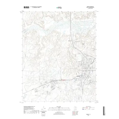
2019 Map of Borger
USGS Topo · Published 2019About this map
The industrial and residential expansion of Borger in the Texas Panhandle is documented here, showing the city's complex road network north of Weatherly Lake. The map details the proximity of significant settlements like Electric City, Bunavista, and Philrich, reflecting the region's petroleum and chemical industry history. To the north, the Canadian River cuts through the landscape, fed by several tributaries including Antelope Cr, Cottonwood Cr, and Rock Cr. This 2019 survey provides contemporary street-level detail for the city, including the Highland Park Cem and the Hutchinson County Airport. The landscape is a mix of dense urban development and the surrounding natural drainage systems that define this part of Hutchinson County, illustrating how the city has grown around the varied terrain of Hill Cr and other local waterways.
Find a feature on this map
141 named features on this map. Tap any name to fly to it.
Don’t see what you’re looking for? This feature index may not catch every label — zoom into the map to look around manually.
Map Details
Editions of this 2019 Borger Map
This is the sole edition of this map. No revisions or reprints were ever made.
Other maps of this area

1939 · Sanford
USGS Topo · 1:62,500

1953 · Sanford
USGS Topo · 1:24,000

1953 · Plemons
USGS Topo · 1:24,000

1953 · Stinnett
USGS Topo · 1:24,000

1953 · Deal
USGS Topo · 1:24,000

1953 · Borger SE
USGS Topo · 1:24,000

1953 · McBride
USGS Topo · 1:24,000

1953 · Phillips
USGS Topo · 1:24,000

1953 · Borger
USGS Topo · 1:24,000

1954 · Amarillo
USGS Topo · 1:250,000