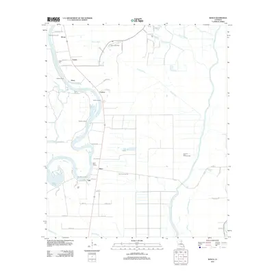
2012 Map of Bosco
USGS Topo · Published 2012About this map
The Ouachita River meanders through this landscape south of Monroe, defining a region where river transport once dictated the local economy. In this 2012 survey, numerous landings such as Logtown Landing, Watkins Landing, and Westside Landing appear alongside the winding riverbanks, though the modern landscape is now heavily influenced by energy extraction. Large industrial footprints are visible at the Northeast Cuba Church Gas Field and the Cuba Church Gas Field, which occupy the flatlands east of the river. Small settlements like Bosco and Cuba remain key points of reference for local history, while several small family burial grounds, including Faulks Cem and Riser Cem, offer specific points of interest for genealogists tracing ancestral roots in Ouachita Parish.
Find a feature on this map
61 named features on this map. Tap any name to fly to it.
Don’t see what you’re looking for? This feature index may not catch every label — zoom into the map to look around manually.
Map Details
Editions of this 2012 Bosco Map
This is the sole edition of this map. No revisions or reprints were ever made.
Other maps of this area

1935 · Alto
USGS Topo · 1:62,500

1939 · Fort Necessity
USGS Topo · 1:62,500

1940 · Monroe
USGS Topo · 1:62,500

1940 · Columbia
USGS Topo · 1:62,500

1955 · Jackson
USGS Topo · 1:250,000

1955 · Shreveport
USGS Topo · 1:250,000

1956 · Shreveport
USGS Topo · 1:250,000

1957 · Columbia
USGS Topo · 1:62,500

1957 · Mangham
USGS Topo · 1:62,500

1957 · West Monroe South
USGS Topo · 1:24,000