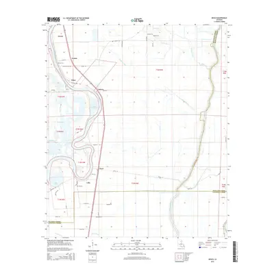
2015 Map of Bosco
USGS Topo · Published 2015About this map
The Ouachita River snakes through the center of this landscape, its deep meanders defining the boundaries of local settlements like Logtown and Filhiol. This corridor of the Lower Mississippi Valley is characterized by complex hydrology, where secondary water bodies like Halfway Bayou and Cutoff Bayou reflect the shifting nature of the river over time. Small communities such as Bosco and Cuba are connected by a network of local roads including Mansfield Rd and Bosco Ln, while oxbow formations like Lake Catherine and Lake Lafitta mark former river channels.
Find a feature on this map
57 named features on this map. Tap any name to fly to it.
Don’t see what you’re looking for? This feature index may not catch every label — zoom into the map to look around manually.
Map Details
Editions of this 2015 Bosco Map
This is the sole edition of this map. No revisions or reprints were ever made.
Other maps of this area

1935 · Alto
USGS Topo · 1:62,500

1939 · Fort Necessity
USGS Topo · 1:62,500

1940 · Monroe
USGS Topo · 1:62,500

1940 · Columbia
USGS Topo · 1:62,500

1955 · Jackson
USGS Topo · 1:250,000

1955 · Shreveport
USGS Topo · 1:250,000

1956 · Shreveport
USGS Topo · 1:250,000

1957 · Columbia
USGS Topo · 1:62,500

1957 · Mangham
USGS Topo · 1:62,500

1957 · West Monroe South
USGS Topo · 1:24,000