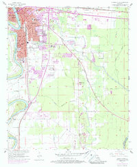
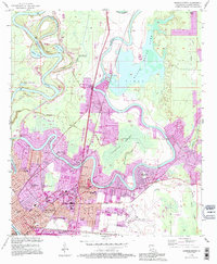
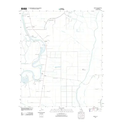
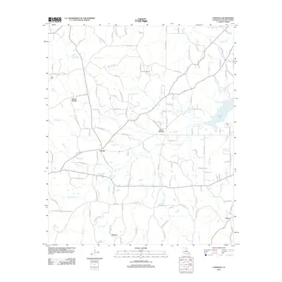
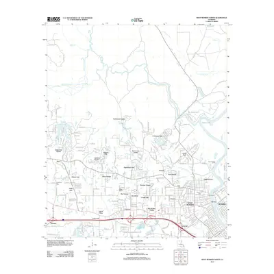
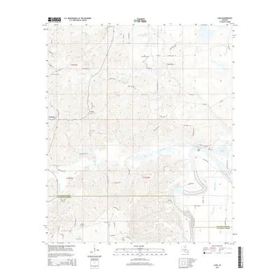
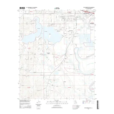
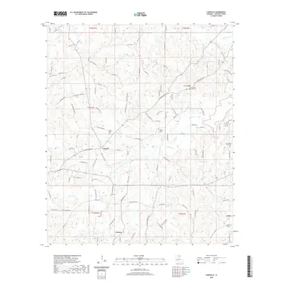
1982 Map of Bosco
USGS Topo · Published 1983About this map
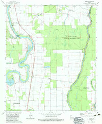
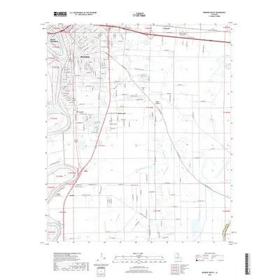
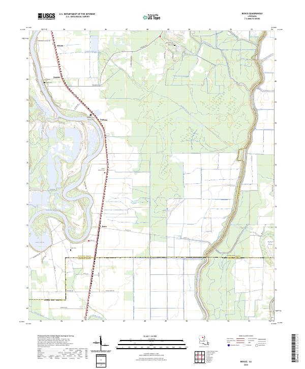
The Ouachita River defines the western landscape of this 1980s-era Louisiana survey, winding through a complex of bayous and oxbow lakes near the borders of Ouachita, Richland, and Caldwell Parishes. Small settlements such as Logtown and Bosco serve as focal points for local history, clustered along the Missouri Pacific railroad line. The map highlights a rural infrastructure of local schools and churches, including Logtown Sch, Faust Sch, and Bosco Ch, which reflect the community's social fabric during this period.
Find a feature on this map
44 named features on this map. Tap any name to fly to it.
Don’t see what you’re looking for? This feature index may not catch every label — zoom into the map to look around manually.
Map Details
Editions of this 1982 Bosco Map
This is the sole edition of this map. No revisions or reprints were ever made.
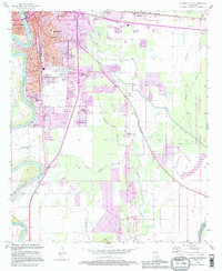
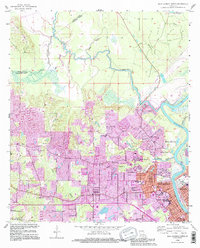
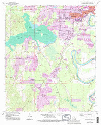
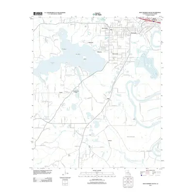
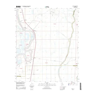
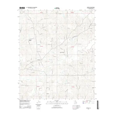
Historical Maps of Bosco Through Time
53 maps found

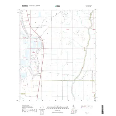
1935 Drew
Ouachita Parish, LA
1957 Monroe North
Ouachita Parish, LA
1957 Monroe North
Ouachita Parish, LA
1957 Monroe South
Ouachita Parish, LA
1957 Monroe South
Ouachita Parish, LA

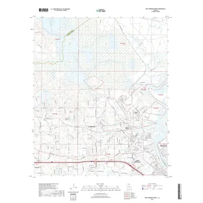
1957 West Monroe North
Ouachita Parish, LA
1957 West Monroe South
Ouachita Parish, LA

1969 Monroe North
Ouachita Parish, LA
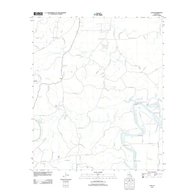
1982 Bosco
Ouachita Parish, LA
1982 Cadeville
Ouachita Parish, LA
1982 Luna
Ouachita Parish, LA
1994 Monroe North
Ouachita Parish, LA
1994 Monroe South
Ouachita Parish, LA
1994 West Monroe North
Ouachita Parish, LA
1994 West Monroe South
Ouachita Parish, LA
1999 Monroe North
Ouachita Parish, LA
1999 Monroe South
Ouachita Parish, LA
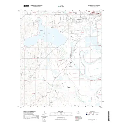
1999 West Monroe North
Ouachita Parish, LA
2012 Bosco
Ouachita Parish, LA
2012 Cadeville
Ouachita Parish, LA
2012 Luna
Ouachita Parish, LA
2012 Monroe North
Ouachita Parish, LA
2012 Monroe South
Ouachita Parish, LA
2012 West Monroe North
Ouachita Parish, LA
2012 West Monroe South
Ouachita Parish, LA
2015 Bosco
Ouachita Parish, LA
2015 Cadeville
Ouachita Parish, LA
2015 Luna
Ouachita Parish, LA
2015 Monroe North
Ouachita Parish, LA
2015 Monroe South
Ouachita Parish, LA
2015 West Monroe North
Ouachita Parish, LA
2015 West Monroe South
Ouachita Parish, LA
2018 Bosco
Ouachita Parish, LA
2018 Cadeville
Ouachita Parish, LA
2018 Luna
Ouachita Parish, LA

2018 Monroe North
Ouachita Parish, LA
2018 Monroe South
Ouachita Parish, LA
2018 West Monroe North
Ouachita Parish, LA
2018 West Monroe South
Ouachita Parish, LA
2020 Bosco
Ouachita Parish, LA
2020 Cadeville
Ouachita Parish, LA

2020 Luna
Ouachita Parish, LA
2020 Monroe North
Ouachita Parish, LA
2020 Monroe South
Ouachita Parish, LA
2020 West Monroe North
Ouachita Parish, LA
2020 West Monroe South
Ouachita Parish, LA
2024 Bosco
Ouachita Parish, LA

2024 Cadeville
Ouachita Parish, LA
2024 Luna
Ouachita Parish, LA
2024 Monroe North
Ouachita Parish, LA
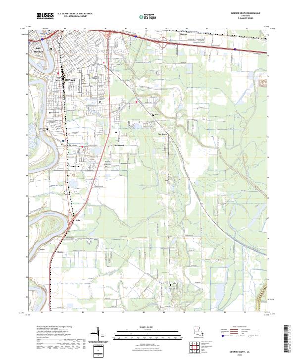
2024 Monroe South
Ouachita Parish, LA
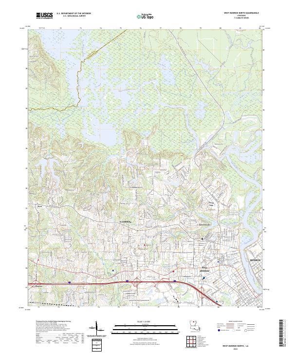
2024 West Monroe North
Ouachita Parish, LA
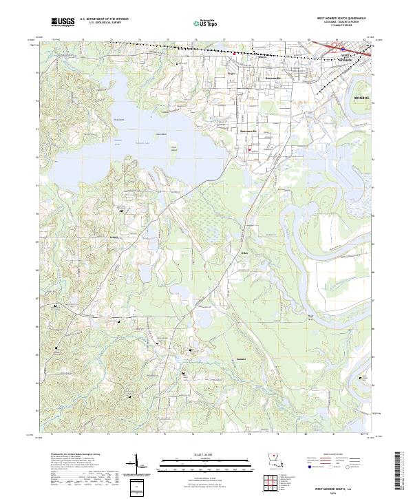
2024 West Monroe South
Ouachita Parish, LA