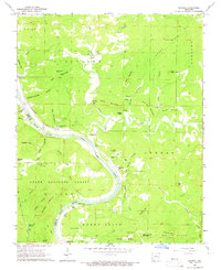
1964 Map of Boswell
USGS Topo · Published 1965About this map
The White River carves a deep horseshoe bend through the Ozark landscape, serving as the border between Stone and Izard counties. This mid-1960s survey captures a rural network of small settlements and family cemeteries established along the high ridges and creek bottoms. The Missouri Pacific railroad tracks follow the river's northern bank, passing through tiny communities like Boswell and Mount Olive, where the Mount Olive Cem and Jeffery Cem remain as markers of long-standing local lineage.
Find a feature on this map
75 named features on this map. Tap any name to fly to it.
Don’t see what you’re looking for? This feature index may not catch every label — zoom into the map to look around manually.
Map Details
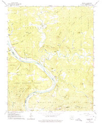
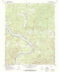
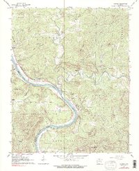
Editions of this 1964 Boswell Map
4 editions found
Other maps of this area

1890 · Batesville
USGS Topo · 1:125,000

1890 · Mountain Home
USGS Topo · 1:125,000

1891 · Mountain Home
USGS Topo · 1:125,000

1891 · Batesville
USGS Topo · 1:125,000

1892 · Mountain View
USGS Topo · 1:125,000

1894 · Mountain View
USGS Topo · 1:125,000

1894 · Mountain Home
USGS Topo · 1:125,000

1945 · Harrison
USGS Topo · 1:250,000

1949 · Harrison
USGS Topo · 1:250,000

1951 · Melbourne
USGS Topo · 1:62,500