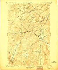
1899 Map of Boulder
USGS Topo · Published 1908About this map
Boulder River and its surrounding valleys dominate this turn-of-the-century landscape, serving as a hub for both industrial mining and burgeoning recreational sites. The town of Boulder stands as a central junction where the Great Northern R. R. meets several regional branches, including the Wickes Branch. Nearby, Boulder Hot Springs represents a destination for early Montana travelers, contrasting with the heavy industrial operations at the Amazon Mill and Mina Mine.
Find a feature on this map
140 named features on this map. Tap any name to fly to it.
Don’t see what you’re looking for? This feature index may not catch every label — zoom into the map to look around manually.
Map Details
Editions of this 1899 Boulder Map
4 editions found
Other maps of this area

1886 · Fort Logan
USGS Topo · 1:250,000

1888 · Three Forks
USGS Topo · 1:250,000

1889 · Helena
USGS Topo · 1:250,000

1893 · Helena
USGS Topo · 1:250,000

1893 · Dillon
USGS Topo · 1:250,000

1894 · Three Forks
USGS Topo · 1:250,000

1895 · Three Forks
USGS Topo · 1:250,000

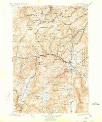
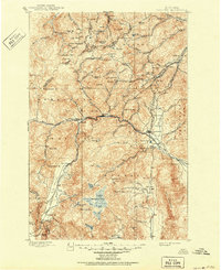
1899 · Boulder
USGS Topo · 1:125,000

1899 · Helena
USGS Topo · 1:62,500

1899 · Helena
USGS Topo · 1:250,000