
1899 Map of Boulder
USGS Topo · Published 1899About this map
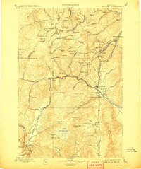
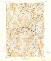
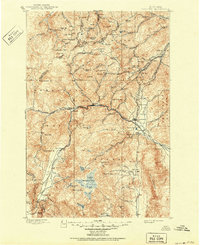
Mining operations and early railroad infrastructure define this late nineteenth-century landscape of Jefferson County. The town of Boulder sits as a central hub in the Boulder Valley, supported by the convergence of the Northern Pacific R. R. and the Montana Central R. R. nearby. The mountainous terrain is heavily marked by the region's extractive economy, featuring a dense concentration of named claims such as the Hidden Treasure Mine, Bullion Mine, and Ruby Mine.
Find a feature on this map
103 named features on this map. Tap any name to fly to it.
Don’t see what you’re looking for? This feature index may not catch every label — zoom into the map to look around manually.
Map Details
Editions of this 1899 Boulder Map
4 editions found
Other maps of this area

1886 · Fort Logan
USGS Topo · 1:250,000

1888 · Three Forks
USGS Topo · 1:250,000

1889 · Helena
USGS Topo · 1:250,000

1893 · Helena
USGS Topo · 1:250,000

1893 · Dillon
USGS Topo · 1:250,000

1894 · Three Forks
USGS Topo · 1:250,000

1895 · Three Forks
USGS Topo · 1:250,000

1899 · Helena
USGS Topo · 1:62,500

1899 · Helena
USGS Topo · 1:250,000

1903 · Helena
USGS Topo · 1:250,000