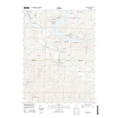
2013 Map of Bowerston
USGS Topo · Published 2013About this map
Bowerston and Leesville anchor this 2013 topographies of the Carroll and Harrison County border, where the winding course of Conotton Creek defines the valley floor. The landscape is heavily influenced by the reservoir at Leesville Lake, which has fostered seasonal and residential clusters such as Glens Cottage Area, Pines Cottage Area, and Lakeshore Park. These modern recreational developments contrast with the area's older agricultural and small-town foundations, found in settlements like Sherrodsville and New Hagerstown.
Find a feature on this map
114 named features on this map. Tap any name to fly to it.
Don’t see what you’re looking for? This feature index may not catch every label — zoom into the map to look around manually.
Map Details
Editions of this 2013 Bowerston Map
This is the sole edition of this map. No revisions or reprints were ever made.
Other maps of this area

1902 · Scio
USGS Topo · 1:62,500

1904 · Scio
USGS Topo · 1:62,500

1909 · Uhrichsville
USGS Topo · 1:62,500

1910 · Carrollton
USGS Topo · 1:62,500

1911 · Uhrichsville
USGS Topo · 1:62,500

1912 · Dover
USGS Topo · 1:62,500

1912 · Carrollton
USGS Topo · 1:62,500

1944 · Dover
USGS Topo · 1:62,500

1951 · Canton
USGS Topo · 1:250,000

1953 · Canton
USGS Topo · 1:250,000