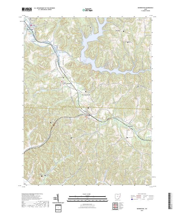
2023 Map of Bowerston
USGS Topo · Published 2023About this map
Leesville Lake sits at the heart of this landscape, its irregular shoreline reaching into the deep valleys carved by McGuire Creek and Holmes Run. The map documents a transition from the rolling uplands of Carroll County into Harrison County, anchored by the rail and valley settlements of Bowerston and Conotton along Conotton Creek. This is a territory defined by its many small rural cemeteries, including Bethel Cem, Palermo Cem, and Mount Olive Cem, which often mark the high ridges above the creek beds. The drainage patterns of Willis Run and Plum Run illustrate the dissection of the plateau, while the North Country National Scenic Trl winds through the northern hills. The layout of roads like Scio Bowerston Rd follows the natural contours of the valley floors, connecting historical centers like Leesville and New Hagerstown across the township lines.
Find a feature on this map
123 named features on this map. Tap any name to fly to it.
Don’t see what you’re looking for? This feature index may not catch every label — zoom into the map to look around manually.
Map Details
Editions of this 2023 Bowerston Map
This is the sole edition of this map. No revisions or reprints were ever made.
Other maps of this area

1902 · Scio
USGS Topo · 1:62,500

1904 · Scio
USGS Topo · 1:62,500

1909 · Uhrichsville
USGS Topo · 1:62,500

1910 · Carrollton
USGS Topo · 1:62,500

1911 · Uhrichsville
USGS Topo · 1:62,500

1912 · Dover
USGS Topo · 1:62,500

1912 · Carrollton
USGS Topo · 1:62,500

1944 · Dover
USGS Topo · 1:62,500

1951 · Canton
USGS Topo · 1:250,000

1953 · Canton
USGS Topo · 1:250,000