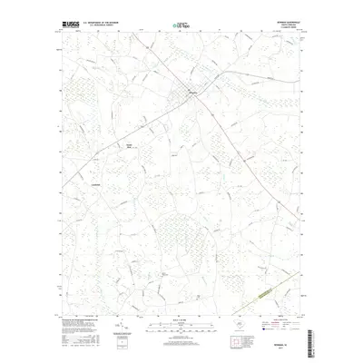
2017 Map of Bowman
USGS Topo · Published 2017About this map
Bowman serves as the central hub of this South Carolina landscape, where a radial network of roads extends into the surrounding lowlands of Orangeburg County. The terrain is defined by an intricate drainage system including Cow Castle Cr and Polk Swamp, illustrating the coastal plain topography where small watercourses like Buck Br and Snell Br shape the land use. Evidence of long-standing community roots appears in the placement of Mount Tabor Cem and Rigby Cem, which are situated near the junction of rural routes and local branches. To the southwest, the smaller settlement area of Lambrick sits near the headwaters of Cattle Cr. The map captures the interface of established agriculture and natural wetlands, with the Orangeburg Co and Dorchester Co boundary line cutting across the southeastern corner.
Find a feature on this map
82 named features on this map. Tap any name to fly to it.
Don’t see what you’re looking for? This feature index may not catch every label — zoom into the map to look around manually.
Map Details
Editions of this 2017 Bowman Map
This is the sole edition of this map. No revisions or reprints were ever made.
Other maps of this area
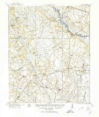
1919 · Lodge
USGS Topo · 1:62,500
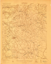
1920 · Bowman
USGS Topo · 1:48,000
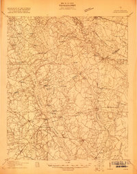
1920 · Lodge
USGS Topo · 1:48,000
1920 · Orangeburg
USGS Topo · 1:48,000
1920 · St. George
USGS Topo · 1:48,000
1921 · Orangeburg
USGS Topo · 1:62,500
1921 · Lodge
USGS Topo · 1:62,500
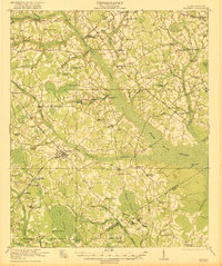
1921 · Bowman
USGS Topo · 1:62,500
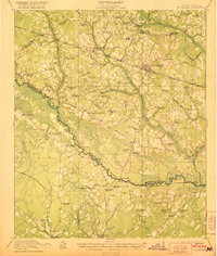
1921 · St. George
USGS Topo · 1:62,500
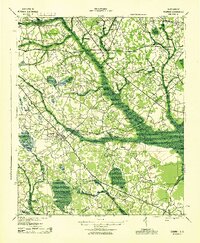
1943 · Bowman
USGS Topo · 1:62,500