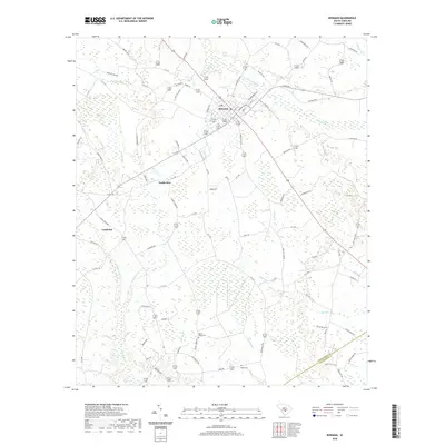
2020 Map of Bowman
USGS Topo · Published 2020About this map
Bowman serves as the primary hub of this Lowcountry landscape, situated at the intersection of several regional routes in Orangeburg County. The town is surrounded by a network of drainage systems typical of the coastal plain, with Cow Castle Cr and Buck Br winding through the northern reaches. To the south, the terrain becomes increasingly defined by wetland environments, most notably the expansive Polk Swamp and the waters of Sandy Run.
Find a feature on this map
86 named features on this map. Tap any name to fly to it.
Don’t see what you’re looking for? This feature index may not catch every label — zoom into the map to look around manually.
Map Details
Editions of this 2020 Bowman Map
This is the sole edition of this map. No revisions or reprints were ever made.
Other maps of this area

1919 · Lodge
USGS Topo · 1:62,500

1920 · Bowman
USGS Topo · 1:48,000

1920 · Lodge
USGS Topo · 1:48,000

1920 · Orangeburg
USGS Topo · 1:48,000

1920 · St. George
USGS Topo · 1:48,000

1921 · Orangeburg
USGS Topo · 1:62,500

1921 · Lodge
USGS Topo · 1:62,500

1921 · Bowman
USGS Topo · 1:62,500

1921 · St. George
USGS Topo · 1:62,500

1943 · Bowman
USGS Topo · 1:62,500