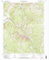
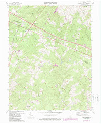
1967 Map of Boyd Tavern
USGS Topo · Published 1987About this map
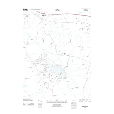
The Rivanna River defines the landscape of this Fluvanna County region, winding past historical crossing points and industry sites like Union Mills and Paynes Mill. The 1960s terrain is characterized by its rural infrastructure, including several denominational landmarks such as Beaverdam Ch, Effort Ch, and Haden Chapel. A notable transition in the late 20th century is captured by the addition of Lake Monticello, a sprawling man-made reservoir that contrasts with the traditional farmsteads and the long-established path of Three Chopt Road. Small settlements like Boyd Tavern and Cunningham anchor the local road network, while specialized facilities like the State Prison Camp No 12 and the Three Chopt Community Center serve the community. The map also records early industrial activity through scattered Quarries and several pipelines traversing the wooded hills.
Find a feature on this map
40 named features on this map. Tap any name to fly to it.
Don’t see what you’re looking for? This feature index may not catch every label — zoom into the map to look around manually.
Map Details
Editions of this 1967 Boyd Tavern Map
4 editions found
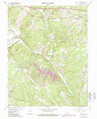
Historical Maps of Lake Monticello Through Time
13 maps found
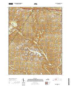
1967 Boyd Tavern
Fluvanna County, VA
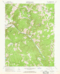
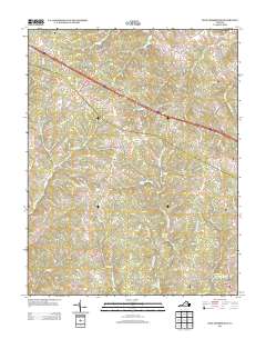
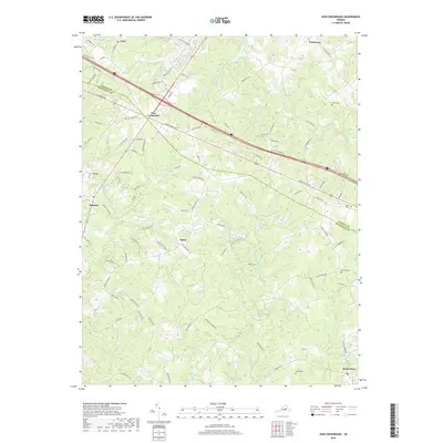
1970 Zion Crossroads
Fluvanna County, VA
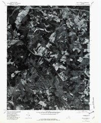
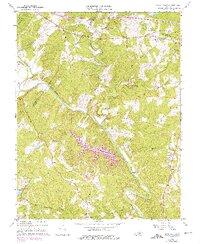
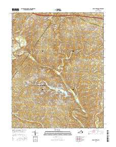
1979 Boyd Tavern
Fluvanna County, VA
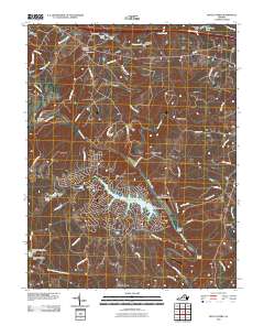
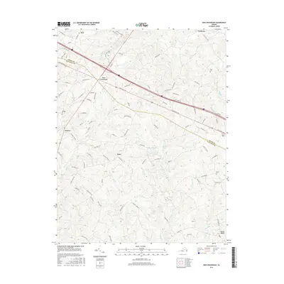
2010 Boyd Tavern
Fluvanna County, VA
2010 Zion Crossroads
Fluvanna County, VA
2013 Boyd Tavern
Fluvanna County, VA
2013 Zion Crossroads
Fluvanna County, VA
2016 Boyd Tavern
Fluvanna County, VA
2016 Zion Crossroads
Fluvanna County, VA
2019 Boyd Tavern
Fluvanna County, VA
2019 Zion Crossroads
Fluvanna County, VA
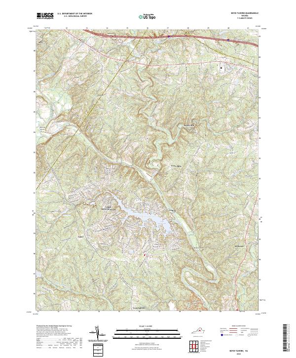
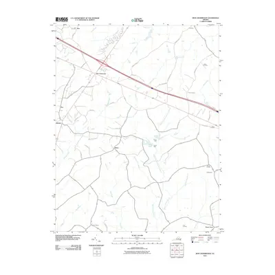
2022 Boyd Tavern
Fluvanna County, VA
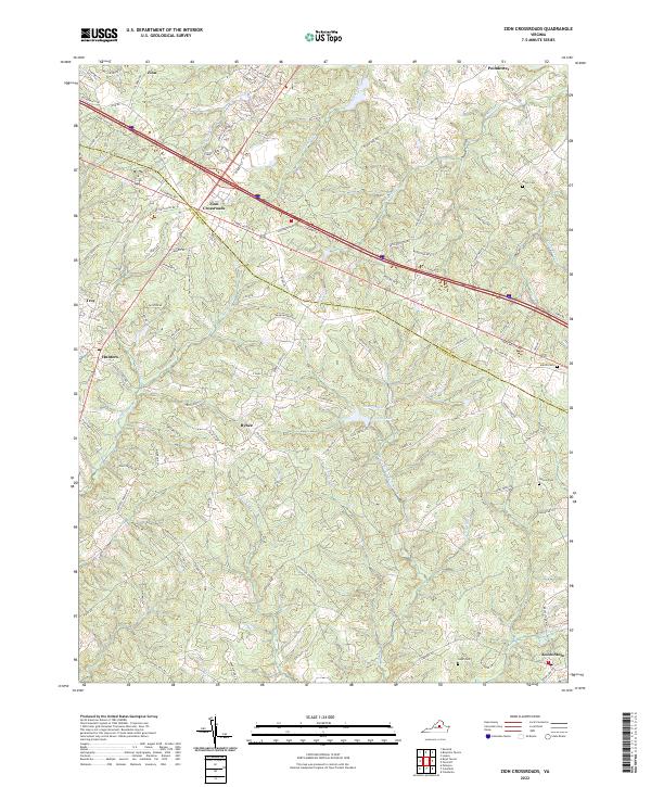
2022 Zion Crossroads
Fluvanna County, VA