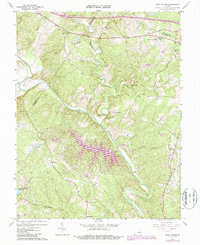
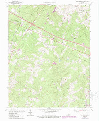
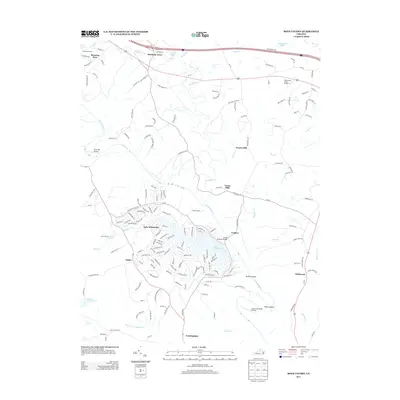
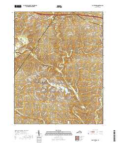
1967 Map of Boyd Tavern
USGS Topo · Published 1987About this map
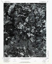
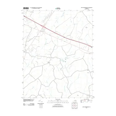
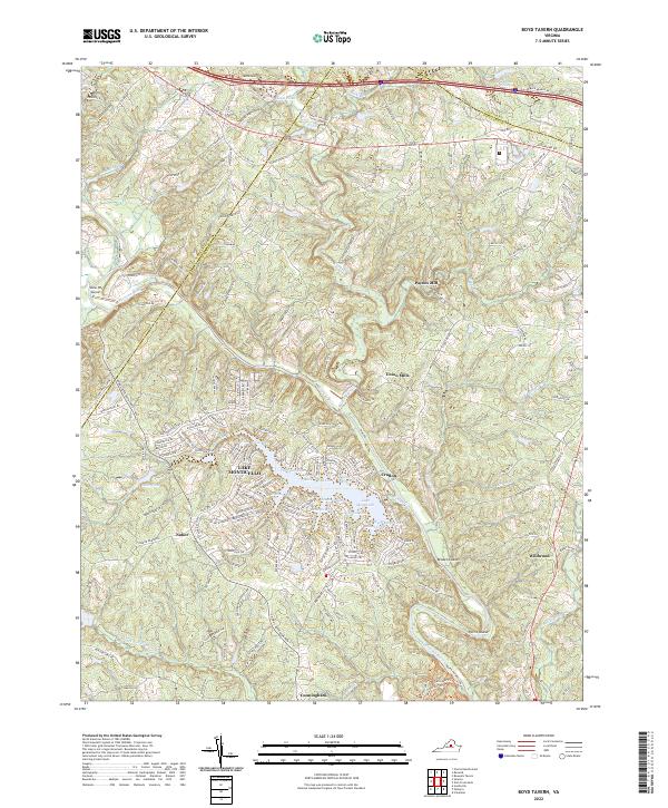
Lake Monticello dominates the central landscape of this Fluvanna County survey, its sprawling shoreline etched into the terrain just east of the Albemarle and Fluvanna County line. The historic Three Chopt Road cuts across the northern reaches, passing through the settlement of Boyd Tavern and near the Three Chopt Community Center. This area shows a transition from traditional rural patterns to more modern infrastructure, as evidenced by the proximity of Interchange 26 to established sites like Beaverdam Ch. Along the winding path of the Rivanna River, older economic hubs such as Union Mills and Paynes Mill are clearly marked. Further south, the map reveals smaller communities like Nahor, Cunningham, and Wildwood, alongside institutional landmarks including State Prison Camp No 12 and several rural sanctuaries such as Effort Ch and Haden Chapel.
Find a feature on this map
44 named features on this map. Tap any name to fly to it.
Don’t see what you’re looking for? This feature index may not catch every label — zoom into the map to look around manually.
Map Details
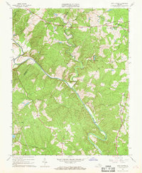
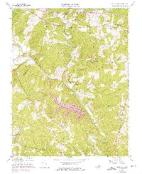
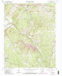
Editions of this 1967 Boyd Tavern Map
4 editions found
Historical Maps of Lake Monticello Through Time
13 maps found
1967 Boyd Tavern
Fluvanna County, VA
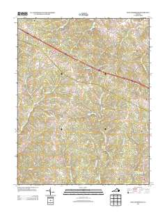
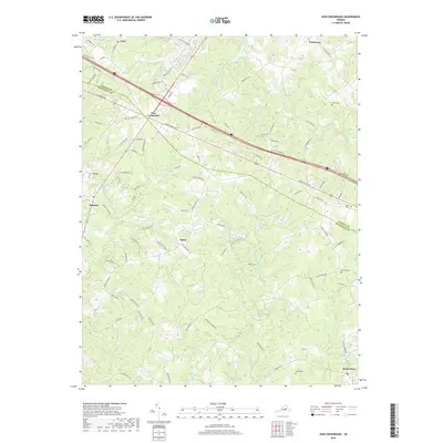
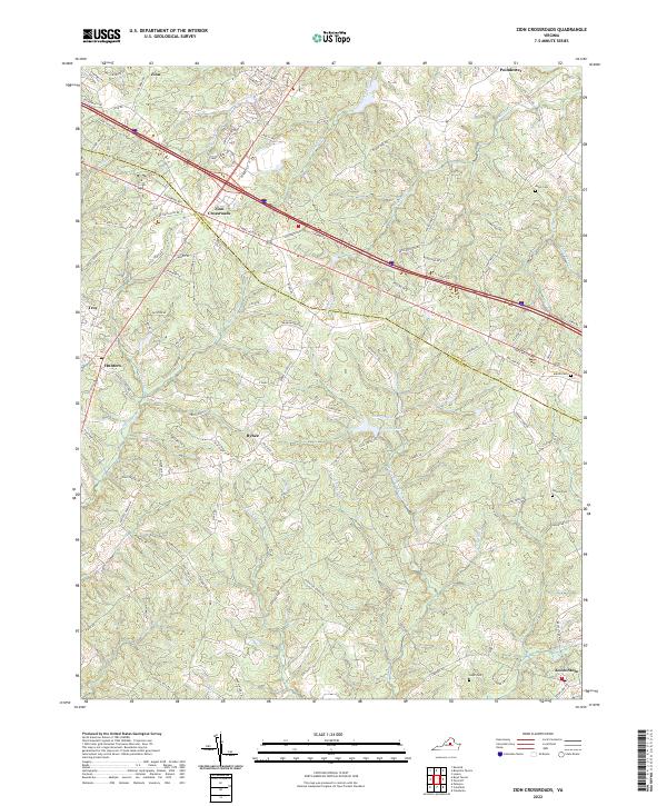
1970 Zion Crossroads
Fluvanna County, VA
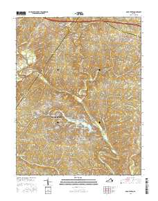
1979 Boyd Tavern
Fluvanna County, VA
2010 Boyd Tavern
Fluvanna County, VA
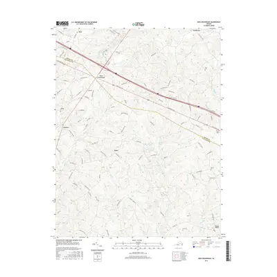
2010 Zion Crossroads
Fluvanna County, VA
2013 Boyd Tavern
Fluvanna County, VA
2013 Zion Crossroads
Fluvanna County, VA
2016 Boyd Tavern
Fluvanna County, VA
2016 Zion Crossroads
Fluvanna County, VA
2019 Boyd Tavern
Fluvanna County, VA
2019 Zion Crossroads
Fluvanna County, VA
2022 Boyd Tavern
Fluvanna County, VA
2022 Zion Crossroads
Fluvanna County, VA