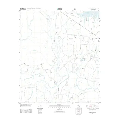
2013 Map of Boykin Spring
USGS Topo · Published 2013About this map
Boykin Spring Lake and the adjacent Boykin Springs Recreation Area anchor this landscape, where the waters of Boykin Cr flow toward the lower reaches of the Sam Rayburn Reservoir. The terrain is defined by a dense network of minor drainage systems including Millstead Br, Shearwood Cr, and Graham Cr, reflecting the typical hydrology of the Piney Woods. Family-named sites like Boykin Cem, Rockwall Cem, and Carter Cem indicate the historic settlement patterns and genealogy of the area.
Find a feature on this map
74 named features on this map. Tap any name to fly to it.
Don’t see what you’re looking for? This feature index may not catch every label — zoom into the map to look around manually.
Map Details
Editions of this 2013 Boykin Spring Map
This is the sole edition of this map. No revisions or reprints were ever made.
Other maps of this area
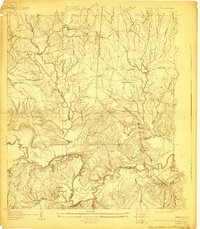
1928 · Zavalla 3-c
USGS Topo · 1:24,000
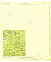
1931 · Zavalla
USGS Topo · 1:62,500

1953 · Palestine
USGS Topo · 1:250,000

1954 · Beaumont
USGS Topo · 1:250,000
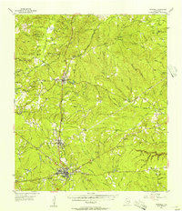
1955 · Woodville
USGS Topo · 1:62,500
1955 · Curtis
USGS Topo · 1:62,500

1957 · Beaumont
USGS Topo · 1:250,000

1957 · Palestine
USGS Topo · 1:250,000
1958 · Zavalla
USGS Topo · 1:62,500
1958 · Mc Gee Bend
USGS Topo · 1:62,500