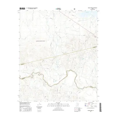
2016 Map of Boykin Spring
USGS Topo · Published 2016About this map
Angelina National Forest dominates this East Texas landscape, where the meandering Neches River forms a significant southern boundary between Jasper and Tyler counties. The map details a transition from the elevated terrain of Cyclone Hill in the northeast down to the complex riparian network of the river bottomlands. Water is a defining element of this region, from the northern reach of the Sam Rayburn Reservoir to localized features like Boykin Spring Lake and the Blue Hole. For genealogists, the placement of the Boykin Cem, Rockwall Cem, and Carter Cem provides specific points for family history research. The extensive network of forest roads, including Roland Marshall Rd and Frazier Rd, illustrates the access patterns developed for timber management and recreation within the national forest system during the early 21st century.
Find a feature on this map
59 named features on this map. Tap any name to fly to it.
Don’t see what you’re looking for? This feature index may not catch every label — zoom into the map to look around manually.
Map Details
Editions of this 2016 Boykin Spring Map
This is the sole edition of this map. No revisions or reprints were ever made.
Other maps of this area
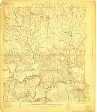
1928 · Zavalla 3-c
USGS Topo · 1:24,000
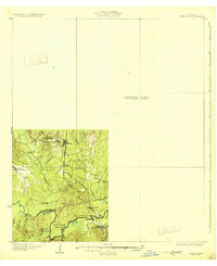
1931 · Zavalla
USGS Topo · 1:62,500

1953 · Palestine
USGS Topo · 1:250,000

1954 · Beaumont
USGS Topo · 1:250,000
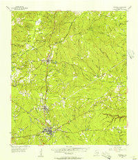
1955 · Woodville
USGS Topo · 1:62,500
1955 · Curtis
USGS Topo · 1:62,500

1957 · Beaumont
USGS Topo · 1:250,000

1957 · Palestine
USGS Topo · 1:250,000
1958 · Zavalla
USGS Topo · 1:62,500
1958 · Mc Gee Bend
USGS Topo · 1:62,500