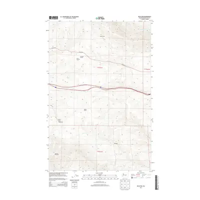
2013 Map of Boylston
USGS Topo · Published 2013About this map
The Boylston Mountains dominate this central Washington landscape, where high-desert drainage patterns have carved a network of coulees and canyons. The modern transportation corridor of Interstate 90 bisects the terrain, running parallel to the historic Vantage Hwy. Along the old rail and road routes, the named settlements of Boylston and Cheviot represent the sparse human footprint in this arid region, which is primarily defined by seasonal water sources such as Whiskey Dick Cr and several named springs.
Find a feature on this map
19 named features on this map. Tap any name to fly to it.
Don’t see what you’re looking for? This feature index may not catch every label — zoom into the map to look around manually.
Map Details
Editions of this 2013 Boylston Map
This is the sole edition of this map. No revisions or reprints were ever made.
Other maps of this area
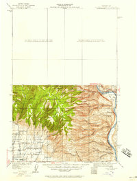
1920 · Colockum Pass
USGS Topo · 1:125,000
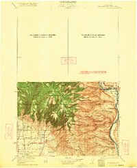
1922 · Colockum Pass
USGS Topo · 1:125,000
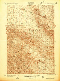
1938 · Badger Pocket
USGS Topo · 1:48,000
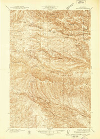
1939 · Boylston
USGS Topo · 1:48,000
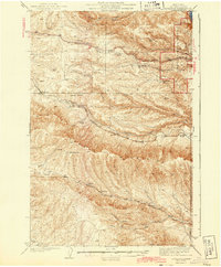
1943 · Boylston
USGS Topo · 1:62,500
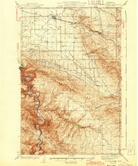
1943 · Badger Pocket
USGS Topo · 1:62,500

1950 · Yakima
USGS Topo · 1:250,000
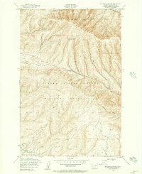
1953 · McDonald Spring
USGS Topo · 1:24,000
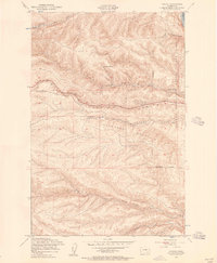
1953 · Ginkgo
USGS Topo · 1:24,000
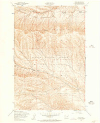
1953 · Doris
USGS Topo · 1:24,000