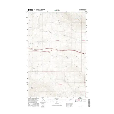
2017 Map of Boylston
USGS Topo · Published 2017About this map
Boylston and Cheviot anchor this high-desert landscape in Kittitas County, where the topography is defined by the steep erosion of the Boylston Mountains and deep drainage networks. The map details a complex system of coulees and canyons, most notably Schnebly Coulee and Rocky Coulee to the north, and Middle Canyon and Johnson Canyon to the south. These features illustrate the characteristic scabland geology of the region, where seasonal water flow and ancient forces have carved distinct paths through the basalt.
Find a feature on this map
16 named features on this map. Tap any name to fly to it.
Don’t see what you’re looking for? This feature index may not catch every label — zoom into the map to look around manually.
Map Details
Editions of this 2017 Boylston Map
This is the sole edition of this map. No revisions or reprints were ever made.
Other maps of this area
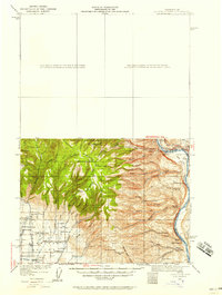
1920 · Colockum Pass
USGS Topo · 1:125,000
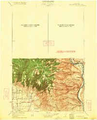
1922 · Colockum Pass
USGS Topo · 1:125,000
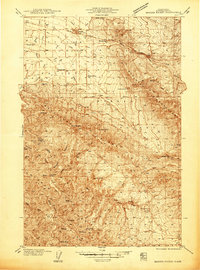
1938 · Badger Pocket
USGS Topo · 1:48,000
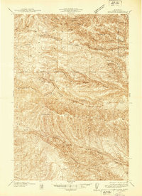
1939 · Boylston
USGS Topo · 1:48,000
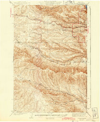
1943 · Boylston
USGS Topo · 1:62,500
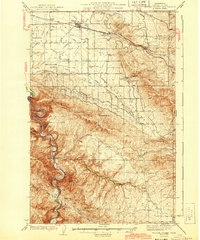
1943 · Badger Pocket
USGS Topo · 1:62,500

1950 · Yakima
USGS Topo · 1:250,000
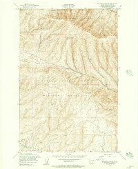
1953 · McDonald Spring
USGS Topo · 1:24,000
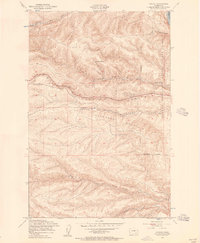
1953 · Ginkgo
USGS Topo · 1:24,000
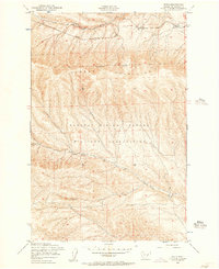
1953 · Doris
USGS Topo · 1:24,000