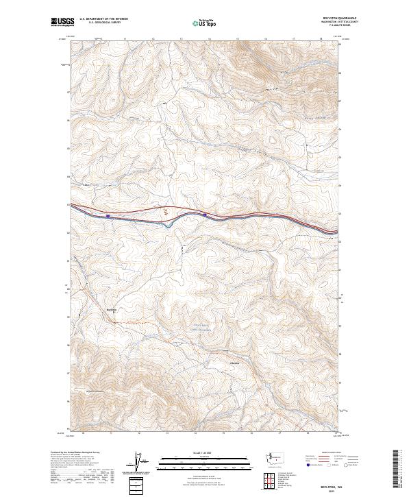
2023 Map of Boylston
USGS Topo · Published 2023About this map
The Boylston Mountains and the arid canyons of eastern Kittitas County define this landscape, where the legacy of early transcontinental rail travel meets modern military and recreational land use. The map highlights the historic site of Boylston and the neighboring locale of Cheviot, positioned along the path of the Palouse To Cascades State Park Trl. This trail follows the former rail corridor that once linked the inland empire to the coast, passing through the deep cut of Johnson Canyon.
Find a feature on this map
20 named features on this map. Tap any name to fly to it.
Don’t see what you’re looking for? This feature index may not catch every label — zoom into the map to look around manually.
Map Details
Editions of this 2023 Boylston Map
This is the sole edition of this map. No revisions or reprints were ever made.
Other maps of this area

1920 · Colockum Pass
USGS Topo · 1:125,000

1922 · Colockum Pass
USGS Topo · 1:125,000

1938 · Badger Pocket
USGS Topo · 1:48,000

1939 · Boylston
USGS Topo · 1:48,000

1943 · Boylston
USGS Topo · 1:62,500

1943 · Badger Pocket
USGS Topo · 1:62,500

1950 · Yakima
USGS Topo · 1:250,000

1953 · McDonald Spring
USGS Topo · 1:24,000

1953 · Ginkgo
USGS Topo · 1:24,000
1953 · Doris
USGS Topo · 1:24,000