
1950 Map of Bracewell
USGS Topo · Published 1960About this map
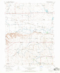
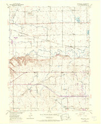
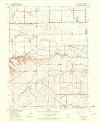
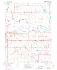
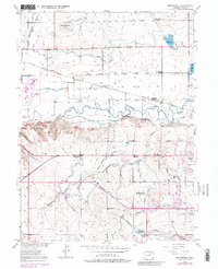
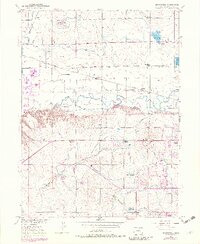
Cache La Poudre River winds through this Weld County landscape, dividing a heavily irrigated northern plain from the rising draws to the south. By 1950, the region’s agricultural identity is defined by an intricate network of waterways, including the Greeley No 2 Canal, Western Ditch, and Boomerang DITCH. These systems support small trackside communities like Bracewell and Farmers along the Colorado and Southern (Burlington Route) railway line. The map reveals a changing social landscape, noting several outmoded educational sites such as the Lucas School (Aban'd) and Plain View Sch (Aban'd), while Hazelton School and Ashton School remain active centers. Further south, the terrain shifts into the erosional patterns of Sheep Draw and Ashcroft Draw, where the Greeley Country Club and Drive-In Theatre indicate the post-war expansion of leisure spaces near the growing population centers.
Find a feature on this map
37 named features on this map. Tap any name to fly to it.
Don’t see what you’re looking for? This feature index may not catch every label — zoom into the map to look around manually.
Map Details
Editions of this 1950 Bracewell Map
7 editions found
Other maps of this area

1902 · Greeley
USGS Topo · 1:125,000

1908 · Eaton
USGS Topo · 1:125,000

1910 · Eaton
USGS Topo · 1:125,000

1950 · Greeley
USGS Topo · 1:24,000

1950 · Windsor
USGS Topo · 1:24,000

1950 · Johnstown
USGS Topo · 1:24,000

1950 · Milliken
USGS Topo · 1:24,000

1950 · La Salle
USGS Topo · 1:24,000
1951 · Johnstown
USGS Topo · 1:24,000
1951 · Milliken
USGS Topo · 1:24,000