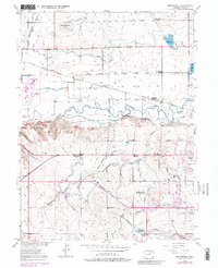
1950 Map of Bracewell
USGS Topo · Published 1982About this map
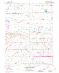
The Cache La Poudre River winds through this northern Colorado landscape, defining a valley heavily modified by agricultural irrigation. A complex network of water infrastructure, including the Greeley No 2 Canal, Jones Ditch, and Whitney Ditch, underscores the region's reliance on managed water for farming during the mid-20th century. While the settlement of Bracewell serves as a local landmark, the map documents a shifting educational landscape with several rural schoolhouses noted, such as the Hazeltons School and Ashton School, alongside others like the Lucas School (Aban'd) that had already been vacated by this era. The Colorado and Southern railroad tracks parallel the river, connecting these rural outposts. Further south, the landscape transitions toward the Greeley Country Club, marking the edge of suburban expansion into the surrounding draws and hills.
Find a feature on this map
29 named features on this map. Tap any name to fly to it.
Don’t see what you’re looking for? This feature index may not catch every label — zoom into the map to look around manually.
Map Details
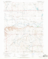
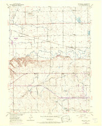
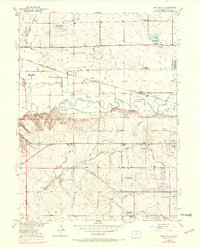
Editions of this 1950 Bracewell Map
7 editions found
Other maps of this area

1902 · Greeley
USGS Topo · 1:125,000

1908 · Eaton
USGS Topo · 1:125,000

1910 · Eaton
USGS Topo · 1:125,000

1950 · Greeley
USGS Topo · 1:24,000

1950 · Windsor
USGS Topo · 1:24,000

1950 · Johnstown
USGS Topo · 1:24,000

1950 · Bracewell
USGS Topo · 1:24,000

1950 · Milliken
USGS Topo · 1:24,000

1950 · La Salle
USGS Topo · 1:24,000
1951 · Johnstown
USGS Topo · 1:24,000