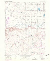
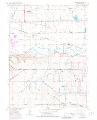
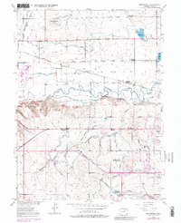
1950 Map of Bracewell
USGS Topo · Published 1982About this map
The Cache La Poudre River meanders through this agricultural landscape west of Greeley, defining a terrain managed by an intricate network of irrigation systems like the Greeley No 2 Canal and Boomerang Ditch. This 1950s survey, updated in the early 1980s, reveals a shift in rural education, marking the Lucas School (Aband) and Plain View Sch (Aband) as defunct while Hazelton School and La Grange School remained focal points of the community. Settlement patterns follow the Colorado And Southern railroad line, linking smaller locales such as Bracewell and Bruce to the larger regional hub. The map also documents recreational development on the edge of the city, including the Greeley Country Club and a Drive-In Theatre, positioned near the expanding Corporate Boundary.
Find a feature on this map
32 named features on this map. Tap any name to fly to it.
Don’t see what you’re looking for? This feature index may not catch every label — zoom into the map to look around manually.
Map Details
Editions of this 1950 Bracewell Map
7 editions found
Other maps of this area

1902 · Greeley
USGS Topo · 1:125,000

1908 · Eaton
USGS Topo · 1:125,000

1910 · Eaton
USGS Topo · 1:125,000

1950 · Greeley
USGS Topo · 1:24,000

1950 · Windsor
USGS Topo · 1:24,000

1950 · Johnstown
USGS Topo · 1:24,000

1950 · Bracewell
USGS Topo · 1:24,000

1950 · Milliken
USGS Topo · 1:24,000

1950 · La Salle
USGS Topo · 1:24,000
1951 · Johnstown
USGS Topo · 1:24,000