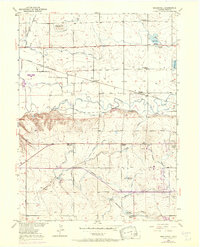
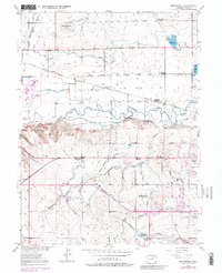
1950 Map of Bracewell
USGS Topo · Published 1970About this map
The Cache La Poudre River winds through this landscape, defining a region where intricate irrigation networks support high-plains agriculture. A dense web of water management features, including the Greeley Canal No 2, West Grapevine Ditch, and Boomerang Ditch, illustrates the complex engineering required to sustain the small settlements of Bracewell and Comer. This mid-century survey reveals a transition in rural education, marking several sites like the Lucas School and Plain View Sch as abandoned, while the Hazelton School and Ashton School remained active centers for the farming community.
Find a feature on this map
30 named features on this map. Tap any name to fly to it.
Don’t see what you’re looking for? This feature index may not catch every label — zoom into the map to look around manually.
Map Details
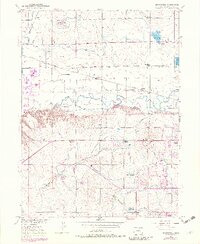
Editions of this 1950 Bracewell Map
7 editions found
Other maps of this area

1902 · Greeley
USGS Topo · 1:125,000

1908 · Eaton
USGS Topo · 1:125,000

1910 · Eaton
USGS Topo · 1:125,000

1950 · Greeley
USGS Topo · 1:24,000

1950 · Windsor
USGS Topo · 1:24,000

1950 · Johnstown
USGS Topo · 1:24,000

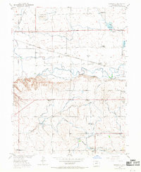
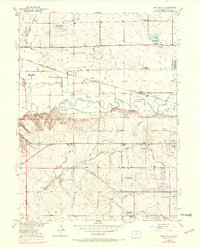
1950 · Bracewell
USGS Topo · 1:24,000

1950 · Milliken
USGS Topo · 1:24,000

1950 · La Salle
USGS Topo · 1:24,000
1951 · Johnstown
USGS Topo · 1:24,000