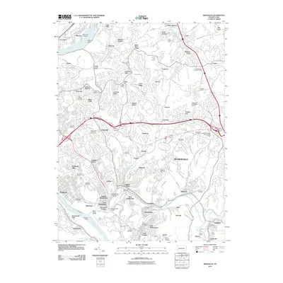
2010 Map of Braddock
USGS Topo · Published 2010About this map
Allegheny River and Monongahela River waters define this industrial and residential landscape east of Pittsburgh at the end of the first decade of the 2000s. The region is marked by dense suburban expansion across communities like Penn Hills, Monroeville, and Turtle Creek, while still retaining the infrastructure of its heavy industrial heritage. The massive North Bessemer Yards and the iconic Westinghouse Bridge signify the area's deep ties to rail transport and engineering, serving as landmarks among the hilly terrain of the Thompson Run and Turtle Creek valleys.
Find a feature on this map
138 named features on this map. Tap any name to fly to it.
Don’t see what you’re looking for? This feature index may not catch every label — zoom into the map to look around manually.
Map Details
Editions of this 2010 Braddock Map
This is the sole edition of this map. No revisions or reprints were ever made.
Other maps of this area

1904 · Mc Keesport
USGS Topo · 1:62,500

1904 · Greensburg
USGS Topo · 1:62,500

1906 · Greensburg
USGS Topo · 1:62,500

1907 · Pittsburg
USGS Topo · 1:62,500

1907 · Freeport
USGS Topo · 1:62,500

1908 · New Kensington
USGS Topo · 1:62,500

1909 · Freeport
USGS Topo · 1:62,500

1910 · New Kensington
USGS Topo · 1:62,500

1951 · Pittsburg East
USGS Topo · 1:24,000

1953 · Pittsburgh
USGS Topo · 1:250,000