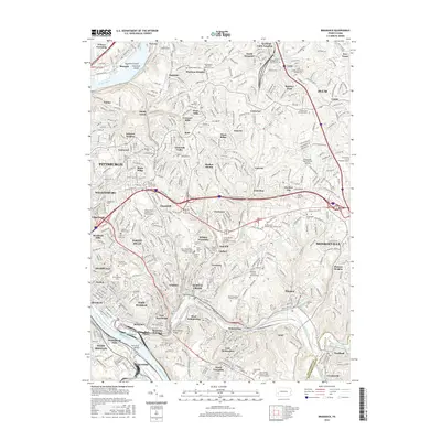
2016 Map of Braddock
USGS Topo · Published 2016About this map
The Monongahela River and Allegheny River frame a dense landscape of industrial history and residential expansion in this 2016 survey. This eastern edge of Pittsburgh shows the significant infrastructure required to navigate the area's steep topography, most notably the Westinghouse Bridge and the Port Perry Bridge spanning the river valleys. The map is particularly rich in genealogical resources, documenting numerous smaller family and denominational burial grounds such as the Richey Family Cem, Old German German Lutheran Cem, and the Betty Rosenberg Parkway Jewish Center Cem.
Find a feature on this map
467 named features on this map. Tap any name to fly to it.
Don’t see what you’re looking for? This feature index may not catch every label — zoom into the map to look around manually.
Map Details
Editions of this 2016 Braddock Map
This is the sole edition of this map. No revisions or reprints were ever made.
Other maps of this area

1904 · Mc Keesport
USGS Topo · 1:62,500

1904 · Greensburg
USGS Topo · 1:62,500

1906 · Greensburg
USGS Topo · 1:62,500

1907 · Pittsburg
USGS Topo · 1:62,500

1907 · Freeport
USGS Topo · 1:62,500

1908 · New Kensington
USGS Topo · 1:62,500

1909 · Freeport
USGS Topo · 1:62,500

1910 · New Kensington
USGS Topo · 1:62,500

1951 · Pittsburg East
USGS Topo · 1:24,000

1953 · Pittsburgh
USGS Topo · 1:250,000