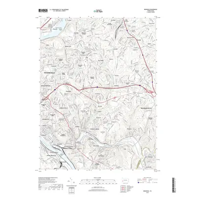
2019 Map of Braddock
USGS Topo · Published 2019About this map
The industrial and residential landscape east of Pittsburgh unfolds along the steep valleys carved by the Allegheny River and Monongahela River. This contemporary survey shows the dense suburban maturation of Wilkinsburg, Churchill, and Monroeville, where modern infrastructure like the William Penn Hwy and Pittsburgh-Monroeville Airport overlies an older network of local roads and rail lines including the P & L E RR.
Find a feature on this map
120 named features on this map. Tap any name to fly to it.
Don’t see what you’re looking for? This feature index may not catch every label — zoom into the map to look around manually.
Map Details
Editions of this 2019 Braddock Map
This is the sole edition of this map. No revisions or reprints were ever made.
Other maps of this area

1904 · Mc Keesport
USGS Topo · 1:62,500

1904 · Greensburg
USGS Topo · 1:62,500

1906 · Greensburg
USGS Topo · 1:62,500

1907 · Pittsburg
USGS Topo · 1:62,500

1907 · Freeport
USGS Topo · 1:62,500

1908 · New Kensington
USGS Topo · 1:62,500

1909 · Freeport
USGS Topo · 1:62,500

1910 · New Kensington
USGS Topo · 1:62,500

1951 · Pittsburg East
USGS Topo · 1:24,000

1953 · Pittsburgh
USGS Topo · 1:250,000