Loading...
Loading map...2023 Map of Braddock
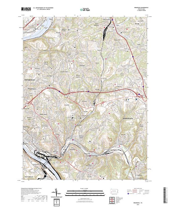
USGS Topo · Published 2023About this map
The confluence of industrial corridors and suburban growth characterizes this eastern Allegheny County landscape. The Monongahela River and Allegheny River frame a dense network of residential communities and transit arteries, including the Allegheny River Blvd and the Tri-Boro Expy. Small islands like Sycamore Island and Ninemile Island break the river current, while the interior is defined by a series of steep valleys carved by Turtle Creek and Chalfant Run.
Find a feature on this map
104 named features on this map. Tap any name to fly to it.
Don’t see what you’re looking for? This feature index may not catch every label — zoom into the map to look around manually.
Map Details
Date Portrayed2023
Date Published2023
PublisherU.S. Geological Survey
Map TypeTopographic
Scale1:24000
Physical Dimensions24 x 29 inches
Editions of this 2023 Braddock Map
This is the sole edition of this map. No revisions or reprints were ever made.
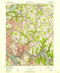
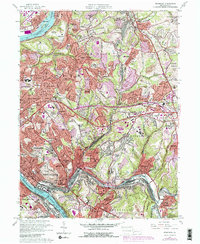
Historical Maps of Eastmont Through Time
3 maps found
Featured Locations
Source Details
SourceU.S. Geological Survey
CopyrightPublic Domain