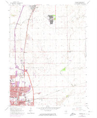
1964 Map of Bradley
USGS Topo · Published 1974About this map
The Manteno State Hospital complex dominates the northern portion of this Kankakee County landscape, complete with its own Sewage Disposal system and the nearby State Hospital Cemetery. As the mid-century suburban expansion reached northward from Kankakee, the settlements of Bradley and Bourbonnais show significant growth, particularly around institutional landmarks like Olivet College and Bradley-Bourbonnais High Sch.
Find a feature on this map
44 named features on this map. Tap any name to fly to it.
Don’t see what you’re looking for? This feature index may not catch every label — zoom into the map to look around manually.
Map Details
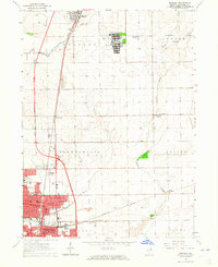
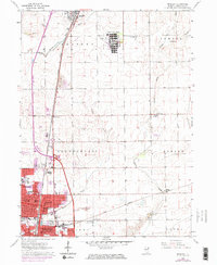
Editions of this 1964 Bradley Map
3 editions found
Other maps of this area

1922 · Momence
USGS Topo · 1:62,500

1922 · Kankakee
USGS Topo · 1:62,500

1924 · Momence
USGS Topo · 1:62,500

1924 · Kankakee
USGS Topo · 1:62,500

1949 · Peotone
USGS Topo · 1:62,500

1949 · Crete
USGS Topo · 1:62,500

1953 · Beecher West
USGS Topo · 1:24,000

1953 · Peotone
USGS Topo · 1:24,000

1953 · Wilton Center
USGS Topo · 1:24,000

1953 · Chicago
USGS Topo · 1:250,000