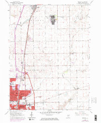
1964 Map of Bradley
USGS Topo · Published 1974About this map
Bradley and Bourbonnais dominate the southwestern corner of this Kankakee County landscape, showing the dense residential and educational development of the mid-20th century. The map highlights significant institutional footprints, most notably the sprawling campus of the Manteno State Hospital and the academic grounds of Olivet College. Transportation networks are a defining feature, with the Illinois Central Gulf and Penn Central railroads cutting across the plains, facilitating the region's industrial and agricultural movement.
Find a feature on this map
39 named features on this map. Tap any name to fly to it.
Don’t see what you’re looking for? This feature index may not catch every label — zoom into the map to look around manually.
Map Details
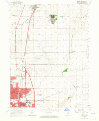
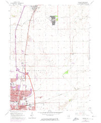
Editions of this 1964 Bradley Map
3 editions found
Other maps of this area

1922 · Momence
USGS Topo · 1:62,500

1922 · Kankakee
USGS Topo · 1:62,500

1924 · Momence
USGS Topo · 1:62,500

1924 · Kankakee
USGS Topo · 1:62,500

1949 · Peotone
USGS Topo · 1:62,500

1949 · Crete
USGS Topo · 1:62,500

1953 · Beecher West
USGS Topo · 1:24,000

1953 · Peotone
USGS Topo · 1:24,000

1953 · Wilton Center
USGS Topo · 1:24,000

1953 · Chicago
USGS Topo · 1:250,000