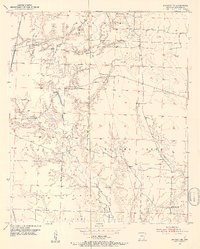
1952 Map of Bradley NE
USGS Topo · Published 1953About this map
Bodcau Creek and Walker Creek dominate the landscape of Lafayette County in the early 1950s, winding through a region where agriculture and emerging energy extraction coexist. The map reveals a community defined by its rural institutions, including the Primitive Cem Crossroads Ch and Piney Grove Ch, alongside family landmarks like Demoss Cem and McClendon Cem. The St Louis Southwestern railroad cuts through the northwestern corner, providing a vital connection for the area's timber and oil resources. Extensive wetland and conservation areas are visible within the southern State Game Refuge. The presence of numerous Oil Wells and Gas Wells near Mars Hill illustrates the post-war industrial expansion into the Arkansas countryside, while local features like Heirs Branch and Bandy Branch trace the natural drainage of the Roane territory.
Find a feature on this map
22 named features on this map. Tap any name to fly to it.
Don’t see what you’re looking for? This feature index may not catch every label — zoom into the map to look around manually.
Map Details
Editions of this 1952 Bradley NE Map
4 editions found
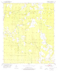
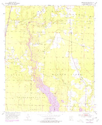
Other maps of this area

1952 · Bradley
USGS Topo · 1:24,000

1952 · Garland
USGS Topo · 1:24,000

1952 · Bradley NE
USGS Topo · 1:24,000

1952 · Canfield
USGS Topo · 1:24,000

1952 · Lewisville
USGS Topo · 1:24,000

1952 · Bradley SE
USGS Topo · 1:24,000

1953 · El Dorado
USGS Topo · 1:250,000

1957 · El Dorado
USGS Topo · 1:250,000

1958 · El Dorado
USGS Topo · 1:250,000

1960 · El Dorado
USGS Topo · 1:250,000