
1965 Map of Bradley
USGS Topo · Published 1966About this map
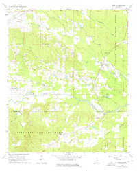
The Illinois Central railroad cuts through the northwestern corner of this landscape, serving the community of Bradley as it traverses the wooded terrain of Oktibbeha and Winston Counties. The central portion of the map is defined by the winding course of the Noxubee River, which feeds into wetlands and lowlands such as Parker Slough. Significant portions of the land are dedicated to conservation and forestry, split between the Noxubee National Wildlife Refuge in the east and the Tombigbee National Forest to the south.
Find a feature on this map
37 named features on this map. Tap any name to fly to it.
Don’t see what you’re looking for? This feature index may not catch every label — zoom into the map to look around manually.
Map Details
Editions of this 1965 Bradley Map
3 editions found
Other maps of this area

1953 · West Point
USGS Topo · 1:250,000

1958 · West Point
USGS Topo · 1:250,000

1963 · West Point
USGS Topo · 1:250,000

1965 · Starkville
USGS Topo · 1:24,000

1965 · Bluff Lake
USGS Topo · 1:24,000

1965 · Longview
USGS Topo · 1:24,000

1972 · Louisville North
USGS Topo · 1:24,000

1972 · Double Springs
USGS Topo · 1:24,000

1972 · Sturgis
USGS Topo · 1:24,000
1973 · Barge Lake
USGS Topo · 1:24,000