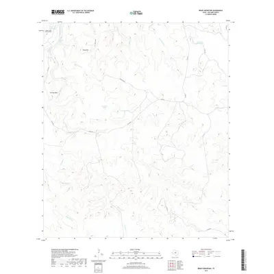
2019 Map of Brady Mountain
USGS Topo · Published 2019About this map
Brady Mtn and the surrounding rangelands of San Saba County define this landscape, where water sources are the primary landmarks for navigation and land management. The northern edge of the map is bordered by the San Saba River, while the rugged interior is marked by intermittent drainages like Wild Boar Cr and Turkey Roost Cr. Historically significant water features are found throughout the terrain, including Deep Creek Spring and the aptly named Bear Water Hole.
Find a feature on this map
28 named features on this map. Tap any name to fly to it.
Don’t see what you’re looking for? This feature index may not catch every label — zoom into the map to look around manually.
Map Details
Editions of this 2019 Brady Mountain Map
This is the sole edition of this map. No revisions or reprints were ever made.
Other maps of this area

1885 · San Saba
USGS Topo · 1:125,000

1887 · Llano
USGS Topo · 1:125,000

1887 · Mason
USGS Topo · 1:125,000

1894 · Brady
USGS Topo · 1:125,000

1894 · Mason
USGS Topo · 1:125,000

1894 · San Saba
USGS Topo · 1:125,000

1894 · Llano
USGS Topo · 1:125,000

1904 · Llano
USGS Topo · 1:125,000

1909 · Llano
USGS Topo · 1:125,000

1918 · Llano
USGS Topo · 1:125,000