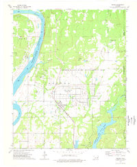
1974 Map of Braggs
USGS Topo · Published 1978About this map
The sprawling footprint of Camp Gruber (Abandoned) dominates this eastern Oklahoma landscape, showcasing the grid-like remains of the decommissioned military installation alongside the Gruber State Game Management Area. The town of Braggs sits at the junction of the Missouri Pacific railroad, serving as a focal point for the surrounding rural townships of Harris, Nash, and Brewer. The topography is defined by the winding course of the Arkansas River, which forms the prominent Gooseneck Bend and fills the Webbers Falls Reservoir.
Find a feature on this map
38 named features on this map. Tap any name to fly to it.
Don’t see what you’re looking for? This feature index may not catch every label — zoom into the map to look around manually.
Map Details
Editions of this 1974 Braggs Map
3 editions found
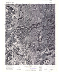
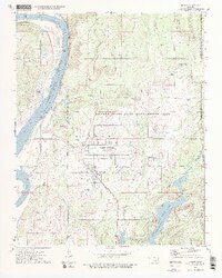
Other maps of this area

1901 · Muscogee
USGS Topo · 1:125,000

1905 · Muscogee
USGS Topo · 1:125,000

1946 · Fort Smith
USGS Topo · 1:250,000

1948 · Hulbert
USGS Topo · 1:62,500

1948 · Keefeton
USGS Topo · 1:62,500

1948 · Webbers Falls
USGS Topo · 1:62,500

1948 · Wagoner
USGS Topo · 1:62,500

1950 · Keefeton
USGS Topo · 1:62,500

1950 · Wagoner
USGS Topo · 1:62,500

1950 · Hulbert
USGS Topo · 1:62,500