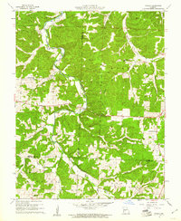
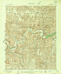
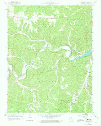
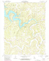
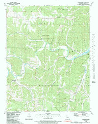
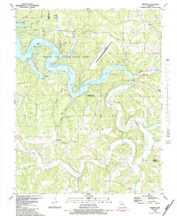
1960 Map of Branch
USGS Topo · Published 1961This historical map portrays the area of Branch in 1960, primarily covering Camden County as well as portions of Hickory County and Dallas County. Featuring a scale of 1:24000, this map provides a highly detailed snapshot of the terrain, roads, buildings, counties, and historical landmarks in the Branch region at the time. Published in 1961, it is one of 2 known editions of this map due to revisions or reprints.
Find a feature on this map
31 named features on this map. Tap any name to fly to it.
Don’t see what you’re looking for? This feature index may not catch every label — zoom into the map to look around manually.
Map Details
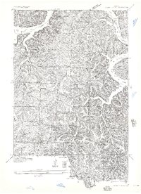
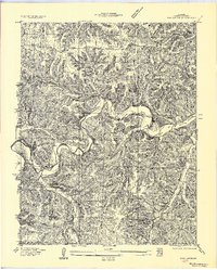
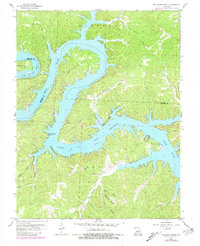
Editions of this 1960 Branch Map
2 editions found
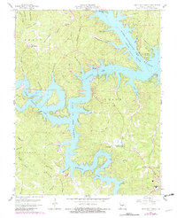
Historical Maps of Almon Through Time
22 maps found

1932 Versailles No 4
Camden County, MO
1934 Green Bay Terrace
Camden County, MO
1934 Irontown Ferry
Camden County, MO

1934 Purvis
Camden County, MO
1934 Toronto
Camden County, MO
1935 Barnumton
Camden County, MO
1935 Knobby Creek
Camden County, MO
1954 Conns Creek
Camden County, MO
1957 Barnumton
Camden County, MO
1959 Barnumton
Camden County, MO
1959 Bollinger Creek
Camden County, MO
1959 Green Bay Terrace
Camden County, MO
1959 Knobby
Camden County, MO
1959 Toronto
Camden County, MO
1960 Branch
Camden County, MO
1975 Decaturville
Camden County, MO
1982 Hahatonka
Camden County, MO
1983 Barnumton
Camden County, MO
1983 Bollinger Creek
Camden County, MO
1983 Green Bay Terrace
Camden County, MO
1983 Knobby
Camden County, MO
1983 Toronto
Camden County, MO