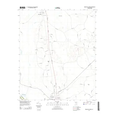
2014 Map of Branchville North
USGS Topo · Published 2014About this map
Branchville and Rowesville anchor this part of the Lowcountry, connected by the long north-south corridor of Freedom Road. The landscape is defined by the winding North Fork Edisto River along the western edge and several expansive low-lying features like Robinsons Bay and Durbin Bay. This survey captures the rural character of the area, punctuated by small settlements and family-named markers that indicate a deeply rooted local history.
Find a feature on this map
74 named features on this map. Tap any name to fly to it.
Don’t see what you’re looking for? This feature index may not catch every label — zoom into the map to look around manually.
Map Details
Editions of this 2014 Branchville North Map
This is the sole edition of this map. No revisions or reprints were ever made.
Other maps of this area

1919 · Lodge
USGS Topo · 1:62,500

1920 · Bowman
USGS Topo · 1:48,000

1920 · Lodge
USGS Topo · 1:48,000

1920 · Orangeburg
USGS Topo · 1:48,000

1920 · St. George
USGS Topo · 1:48,000

1921 · Orangeburg
USGS Topo · 1:62,500

1921 · Lodge
USGS Topo · 1:62,500

1921 · Bowman
USGS Topo · 1:62,500

1921 · St. George
USGS Topo · 1:62,500

1943 · Bowman
USGS Topo · 1:62,500