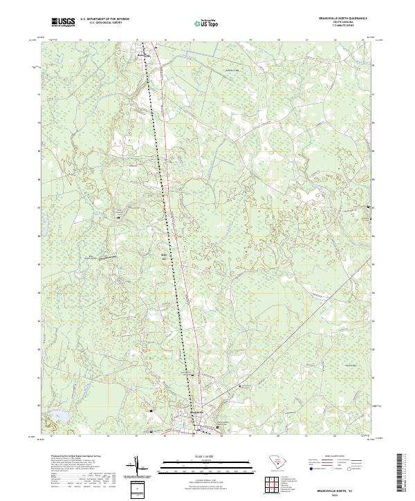
2024 Map of Branchville North
USGS Topo · Published 2024About this map
Branchville and Rowesville anchor this corner of Orangeburg County, where the landscape is defined by the slow movement of the North Fork Edisto River and several distinct geological depressions known as Carolina bays, such as Robinsons Bay and Durbin Bay. The mapping reflects a deeply rooted community structure, evidenced by a high density of family and congregational burial grounds, including the Sardis Church Graveyard and Cattle Creek Cem.
Find a feature on this map
73 named features on this map. Tap any name to fly to it.
Don’t see what you’re looking for? This feature index may not catch every label — zoom into the map to look around manually.
Map Details
Editions of this 2024 Branchville North Map
This is the sole edition of this map. No revisions or reprints were ever made.
Other maps of this area

1919 · Lodge
USGS Topo · 1:62,500

1920 · Bowman
USGS Topo · 1:48,000

1920 · Lodge
USGS Topo · 1:48,000

1920 · Orangeburg
USGS Topo · 1:48,000

1920 · St. George
USGS Topo · 1:48,000

1921 · Orangeburg
USGS Topo · 1:62,500

1921 · Lodge
USGS Topo · 1:62,500

1921 · Bowman
USGS Topo · 1:62,500

1921 · St. George
USGS Topo · 1:62,500

1943 · Bowman
USGS Topo · 1:62,500