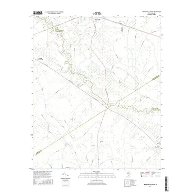
2017 Map of Branchville South
USGS Topo · Published 2017About this map
The Edisto River winds extensively through this South Carolina landscape, defining the boundaries where Orangeburg, Bamberg, Dorchester, and Colleton counties converge. In the northern reaches, the town of Branchville serves as a local hub, while Farrell Crossroads sits to the west. This 2017 survey reveals a rural territory heavily shaped by its hydrology, where numerous named tributaries like Brickhouse Br, Bush Br, and Steedley Br feed into the main river channel. For genealogists and local historians, the map is a significant resource for locating family burial grounds, including the May - Stokes - Raysor Cem, Spell - Risher Cem, and Buckhead Cem. Key river crossings at Fitts Bridge and Sandy Island Bridge illustrate the essential transit points that link these isolated communities across the river's meandering path and its surrounding wetlands.
Find a feature on this map
72 named features on this map. Tap any name to fly to it.
Don’t see what you’re looking for? This feature index may not catch every label — zoom into the map to look around manually.
Map Details
Editions of this 2017 Branchville South Map
This is the sole edition of this map. No revisions or reprints were ever made.
Other maps of this area

1919 · Lodge
USGS Topo · 1:62,500

1920 · Bowman
USGS Topo · 1:48,000

1920 · Lodge
USGS Topo · 1:48,000

1920 · Orangeburg
USGS Topo · 1:48,000

1920 · St. George
USGS Topo · 1:48,000

1921 · Orangeburg
USGS Topo · 1:62,500

1921 · Lodge
USGS Topo · 1:62,500

1921 · Bowman
USGS Topo · 1:62,500

1921 · St. George
USGS Topo · 1:62,500

1943 · Bowman
USGS Topo · 1:62,500