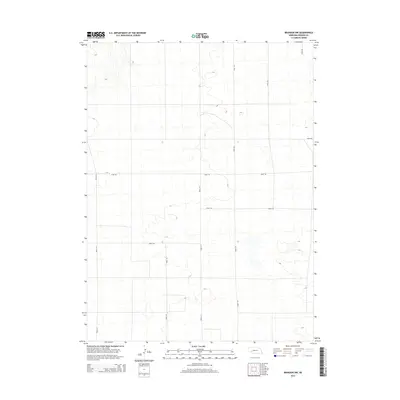
2014 Map of Brandon NW
USGS Topo · Published 2014About this map
Perkins County's high plains landscape in western Nebraska is defined here by a systematic grid of section-line roads, a testament to the enduring impact of the Public Land Survey System on the American West. This 2014 topographic study documents the sparse, open character of the region, where transportation is anchored by long, straight corridors such as Road 314 and Road 317. The terrain features subtle drainage patterns and depressions that break the geometric regularity of the east-west thoroughfares like Road 765 and Road 767. Without named towns or settlements in this specific quadrangle, the map serves as a detailed record of rural land divisions and the infrastructure required to manage large-scale agricultural or ranching operations in this portion of the state.
Find a feature on this map
10 named features on this map. Tap any name to fly to it.
Don’t see what you’re looking for? This feature index may not catch every label — zoom into the map to look around manually.
Map Details
Editions of this 2014 Brandon NW Map
This is the sole edition of this map. No revisions or reprints were ever made.
Other maps of this area

1897 · Ogallala
USGS Topo · 1:125,000

1900 · Chappell
USGS Topo · 1:125,000

1900 · Ogallala
USGS Topo · 1:125,000

1954 · Sterling
USGS Topo · 1:250,000

1954 · Scottsbluff
USGS Topo · 1:250,000

1954 · McCook
USGS Topo · 1:250,000

1954 · North Platte
USGS Topo · 1:250,000

1956 · North Platte
USGS Topo · 1:250,000

1957 · North Platte
USGS Topo · 1:250,000

1957 · McCook
USGS Topo · 1:250,000