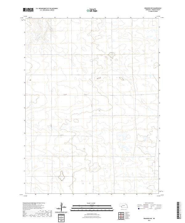
2021 Map of Brandon NW
USGS Topo · Published 2021About this map
Perkins County's high plains terrain is defined by a sparse network of section-line roads and seasonal water catchments in this contemporary mapping of the Nebraska panhandle. The landscape is organized by the Public Land Survey System, with the intersection of township lines t12n r41w, t12n r40w, t11n r41w, and t11n r40w forming the primary geographic structure. This area is characterized by undulating contours and numerous small, scattered wetlands, reflecting the local hydrology of the Sandhills region.
Find a feature on this map
8 named features on this map. Tap any name to fly to it.
Don’t see what you’re looking for? This feature index may not catch every label — zoom into the map to look around manually.
Map Details
Editions of this 2021 Brandon NW Map
This is the sole edition of this map. No revisions or reprints were ever made.
Other maps of this area

1897 · Ogallala
USGS Topo · 1:125,000

1900 · Chappell
USGS Topo · 1:125,000

1900 · Ogallala
USGS Topo · 1:125,000

1954 · Sterling
USGS Topo · 1:250,000

1954 · Scottsbluff
USGS Topo · 1:250,000

1954 · McCook
USGS Topo · 1:250,000

1954 · North Platte
USGS Topo · 1:250,000

1956 · North Platte
USGS Topo · 1:250,000

1957 · North Platte
USGS Topo · 1:250,000

1957 · McCook
USGS Topo · 1:250,000