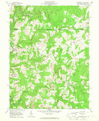
1959 Map of Brandonville
USGS Topo · Published 1966About this map
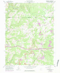
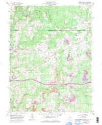
The borderlands of northern Preston County, West Virginia, and Fayette County, Pennsylvania, are defined by a complex landscape of narrow valleys and winding creeks during the late 1950s. Small rural communities like Brandonville and Clifton Mills serve as local anchors, while the terrain is dotted with several country churches and schools, including Salem Sch and Locust Grove Ch. The map reveals the early footprint of resource extraction in the region, noting several Strip Mine operations and individual Mine sites tucked away in the hollows near Sandy Creek.
Find a feature on this map
40 named features on this map. Tap any name to fly to it.
Don’t see what you’re looking for? This feature index may not catch every label — zoom into the map to look around manually.
Map Details
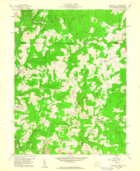
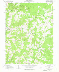
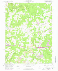
Editions of this 1959 Brandonville Map
6 editions found
Other maps of this area

1900 · Accident
USGS Topo · 1:62,500

1900 · Uniontown
USGS Topo · 1:62,500

1904 · Bruceton
USGS Topo · 1:62,500

1922 · Confluence
USGS Topo · 1:62,500

1926 · Bruceton
USGS Topo · 1:62,500

1931 · Uniontown
USGS Topo · 1:62,500

1931 · Confluence
USGS Topo · 1:62,500

1931 · Bruceton Mills
USGS Topo · 1:62,500

1933 · Confluence
USGS Topo · 1:62,500

1933 · Bruceton
USGS Topo · 1:62,500