Loading...
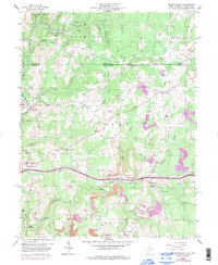
Loading map...1959 Map of Brandonville
USGS Topo · Published 1998About this map
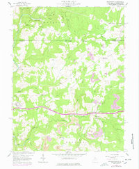
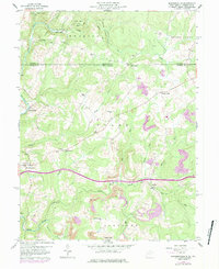
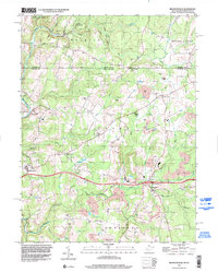
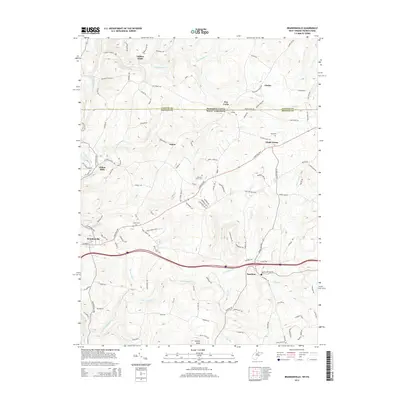
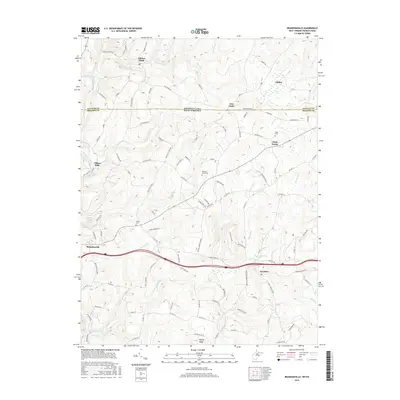
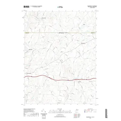
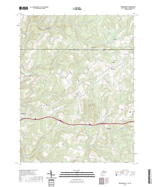
Brandonville sits at the heart of this survey of northern West Virginia and the Pennsylvania border, anchoring a rural landscape defined by narrow valleys and upland ridges. The distribution of Salem Sch, Shady Grove Ch, and several family burial grounds like Teets Cem suggests a decentralized community structure tied to the land's hydrology. Waterways such as Sandy Creek and its many tributaries, including Little Sandy Creek and Glade Run, dictate the placement of early settlements like Clifton Mills.
Find a feature on this map
39 named features on this map. Tap any name to fly to it.
Don’t see what you’re looking for? This feature index may not catch every label — zoom into the map to look around manually.
Map Details
Date Portrayed1959
Date Published1998
PublisherU.S. Geological Survey
Map TypeTopographic
Scale1:24,000
Physical Dimensions22.1 x 26.9 inches
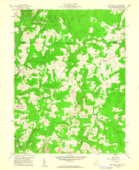
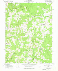
Editions of this 1959 Brandonville Map
6 editions found
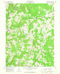
Historical Maps of Brandonville Through Time
7 maps found
Featured Locations
Source Details
SourceU.S. Geological Survey
CopyrightPublic Domain