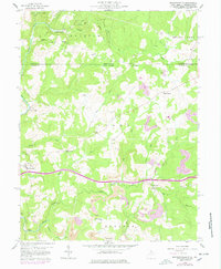
1959 Map of Brandonville
USGS Topo · Published 1978About this map
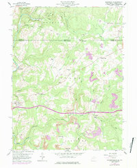
Brandonville and the surrounding rural landscape of Preston County and Fayette County sit at the crossroads of West Virginia and Pennsylvania in this late 1950s survey. The map details a transition between agricultural plateaus and industrial activity, characterized by numerous Strip Mine operations and extractive infrastructure like the Oil Well and Gas Well near Five Forks. Settlements are scattered along the creek valleys, with Clifton Mills positioned near the winding waters of Little Sandy Creek.
Find a feature on this map
38 named features on this map. Tap any name to fly to it.
Don’t see what you’re looking for? This feature index may not catch every label — zoom into the map to look around manually.
Map Details
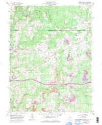
Editions of this 1959 Brandonville Map
6 editions found
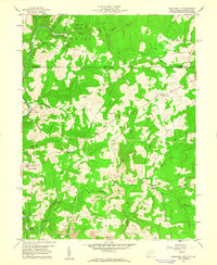
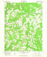
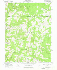
Other maps of this area

1900 · Accident
USGS Topo · 1:62,500

1900 · Uniontown
USGS Topo · 1:62,500

1904 · Bruceton
USGS Topo · 1:62,500

1922 · Confluence
USGS Topo · 1:62,500

1926 · Bruceton
USGS Topo · 1:62,500

1931 · Uniontown
USGS Topo · 1:62,500

1931 · Confluence
USGS Topo · 1:62,500

1931 · Bruceton Mills
USGS Topo · 1:62,500

1933 · Confluence
USGS Topo · 1:62,500

1933 · Bruceton
USGS Topo · 1:62,500