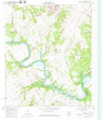
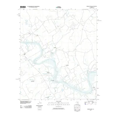
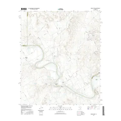
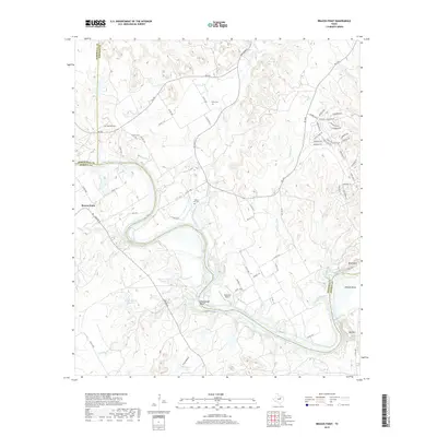
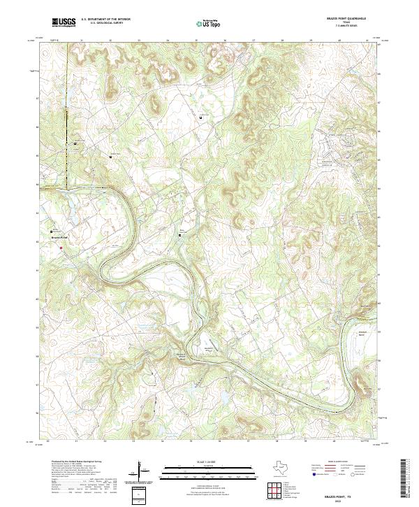
1968 Map of Brazos Point
USGS Topo · Published 1979About this map
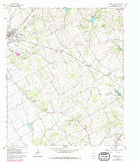
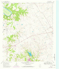
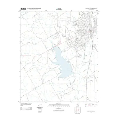
The Brazos River carves a winding path through this region of the Texas Grand Prairie, forming the natural boundary between Somervell, Johnson, and Bosque counties. As the river transitions into the northern reaches of Lake Whitney, the landscape reveals a quiet rural pattern of life centered around small communities like Brazos Point, Freeland, and Highland. Genealogists will find significant value in the documentation of several family burial grounds, including Stanford Cem, Nichols Cem, and the Baker Lain Cem near the riverbank. This 1968 survey, later updated in 1977, captures the area during a period of stable agricultural use, punctuated by limestone quarries and gravel pits that reflect the local geology. In the north, the wooded hills of Cleburne State Park provide a distinct contrast to the river bottomlands near the prominent Kimball Bend.
Find a feature on this map
34 named features on this map. Tap any name to fly to it.
Don’t see what you’re looking for? This feature index may not catch every label — zoom into the map to look around manually.
Map Details
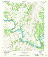
Editions of this 1968 Brazos Point Map
2 editions found
Historical Maps of Brazos Point Through Time
26 maps found
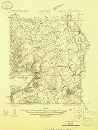
1924 Cleburne 3-B
Johnson County, TX
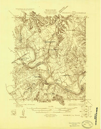
1924 Granbury 4-a
Johnson County, TX
1960 Cleburne East
Johnson County, TX
1961 Bono
Johnson County, TX
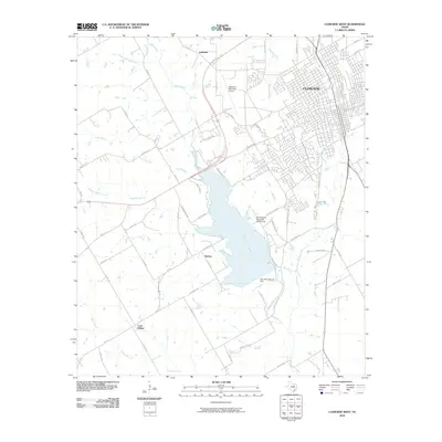
1961 Cleburne West
Johnson County, TX
1968 Brazos Point
Johnson County, TX
2010 Bono
Johnson County, TX
2010 Brazos Point
Johnson County, TX
2010 Cleburne East
Johnson County, TX
2010 Cleburne West
Johnson County, TX
2012 Cleburne East
Johnson County, TX
2012 Cleburne West
Johnson County, TX
2013 Bono
Johnson County, TX
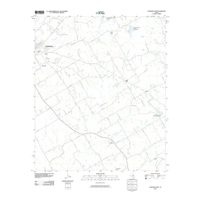
2013 Brazos Point
Johnson County, TX
2016 Bono
Johnson County, TX
2016 Brazos Point
Johnson County, TX
2016 Cleburne East
Johnson County, TX
2016 Cleburne West
Johnson County, TX
2019 Bono
Johnson County, TX
2019 Brazos Point
Johnson County, TX
2019 Cleburne East
Johnson County, TX
2019 Cleburne West
Johnson County, TX
2022 Bono
Johnson County, TX
2022 Brazos Point
Johnson County, TX
2022 Cleburne East
Johnson County, TX
2022 Cleburne West
Johnson County, TX