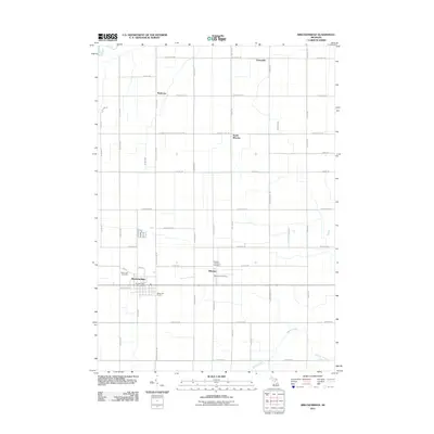
2011 Map of Breckenridge
USGS Topo · Published 2011About this map
Breckenridge and the neighboring village of Wheeler anchor this Gratiot County landscape, reflecting the agricultural and residential patterns of mid-Michigan in the early 21st century. The map details a strictly organized grid of rural roads, including W Midland Gratiot County Line Rd, that separate vast tracts of farmland from small, clustered settlements like Redstone and Teeterville. Local civic life is centered around the Breckenridge Post Office and Wheeler Post Office, while the community's heritage is preserved at Rose Lawn Cemetery and the Wheeler Township Cemetery.
Find a feature on this map
55 named features on this map. Tap any name to fly to it.
Don’t see what you’re looking for? This feature index may not catch every label — zoom into the map to look around manually.
Map Details
Editions of this 2011 Breckenridge Map
This is the sole edition of this map. No revisions or reprints were ever made.
Other maps of this area

1930 · Shepherd
USGS Topo · 1:48,000

1934 · Sanford
USGS Topo · 1:62,500

1934 · Merrill
USGS Topo · 1:62,500

1935 · Alma
USGS Topo · 1:62,500

1936 · Shepherd
USGS Topo · 1:62,500

1936 · Sanford
USGS Topo · 1:62,500

1937 · Merrill
USGS Topo · 1:62,500

1938 · Alma
USGS Topo · 1:62,500

1954 · Midland
USGS Topo · 1:250,000

1958 · Midland
USGS Topo · 1:250,000