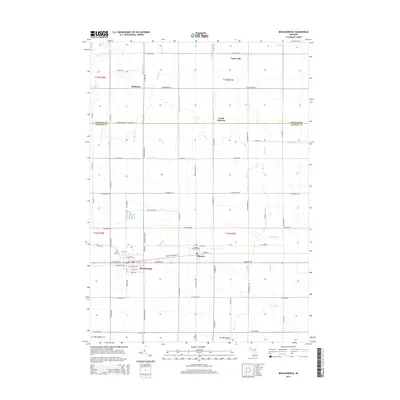
2014 Map of Breckenridge
USGS Topo · Published 2014About this map
Breckenridge and Wheeler anchor the southern half of this landscape, positioned along the busy corridor of E Monroe Rd and Saginaw St. The area's agricultural character is defined by a dense network of water management features, including Sucker Cr, Beaver Cr, and numerous artificial channels like the Weeks Drain and Centerline Drain. These waterways follow the grid of section lines, supporting the rural farmsteads that occupy the township.
Find a feature on this map
61 named features on this map. Tap any name to fly to it.
Don’t see what you’re looking for? This feature index may not catch every label — zoom into the map to look around manually.
Map Details
Editions of this 2014 Breckenridge Map
This is the sole edition of this map. No revisions or reprints were ever made.
Other maps of this area

1930 · Shepherd
USGS Topo · 1:48,000

1934 · Sanford
USGS Topo · 1:62,500

1934 · Merrill
USGS Topo · 1:62,500

1935 · Alma
USGS Topo · 1:62,500

1936 · Shepherd
USGS Topo · 1:62,500

1936 · Sanford
USGS Topo · 1:62,500

1937 · Merrill
USGS Topo · 1:62,500

1938 · Alma
USGS Topo · 1:62,500

1954 · Midland
USGS Topo · 1:250,000

1958 · Midland
USGS Topo · 1:250,000