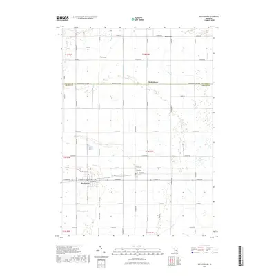
2019 Map of Breckenridge
USGS Topo · Published 2019About this map
Breckenridge and the neighboring community of Wheeler sit at the heart of this central Michigan agricultural landscape, straddling the border of Gratiot and Midland counties. The region is defined by a dense grid of rural roads and an extensive network of managed waterways, including Bullock Cr, Bush Cr, and Handy Cr, which facilitate drainage across the level township sections. Smaller settlements like Teeterville, Redstone, and North Wheeler are situated along key intersections, illustrating the historical distribution of trade and residence in this farming community. Genealogical interest is centered on several burial sites, specifically Rose Lawn Cem near the western edge and the Wheeler Township Cem further east. The map detail highlights how the local economy and infrastructure remain closely tied to the rectangular survey system and the vital drainage routes like Weeks Drain and the Corbat Drain.
Find a feature on this map
72 named features on this map. Tap any name to fly to it.
Don’t see what you’re looking for? This feature index may not catch every label — zoom into the map to look around manually.
Map Details
Editions of this 2019 Breckenridge Map
This is the sole edition of this map. No revisions or reprints were ever made.
Other maps of this area

1930 · Shepherd
USGS Topo · 1:48,000

1934 · Sanford
USGS Topo · 1:62,500

1934 · Merrill
USGS Topo · 1:62,500

1935 · Alma
USGS Topo · 1:62,500

1936 · Shepherd
USGS Topo · 1:62,500

1936 · Sanford
USGS Topo · 1:62,500

1937 · Merrill
USGS Topo · 1:62,500

1938 · Alma
USGS Topo · 1:62,500

1954 · Midland
USGS Topo · 1:250,000

1958 · Midland
USGS Topo · 1:250,000