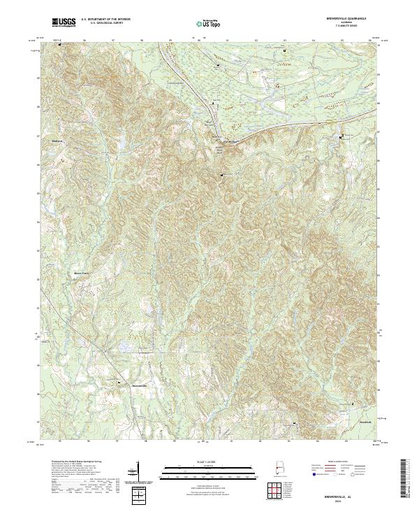
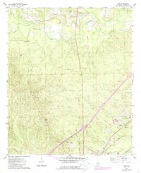
2024 Map of Brewersville
USGS Topo · Published 2024About this map
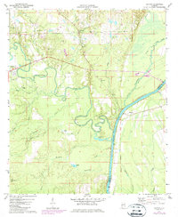
Old Bluffport and Bluffport sit along the western banks of the Tombigbee River, where the modern Tennessee-Tombigbee Waterway cuts through the Alabama landscape at the Greene and Sumter county line. This map documents a region defined by its river-bend geography and numerous family-named landmarks, including the Buzzard Roost Bluff and the Bluff Port Bar. To the south, the settlement of Brewersville serves as a focal point for the surrounding rural area, marked by a high concentration of small family burial grounds such as Brewersville Cem, Phares Cem, and Walker Cem.
Find a feature on this map
66 named features on this map. Tap any name to fly to it.
Don’t see what you’re looking for? This feature index may not catch every label — zoom into the map to look around manually.
Map Details
Editions of this 2024 Brewersville Map
This is the sole edition of this map. No revisions or reprints were ever made.
Historical Maps of Old Bluffport Through Time
15 maps found
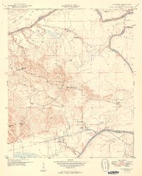
1948 Mc Dowell
Sumter County, AL
1949 McDowell
Sumter County, AL
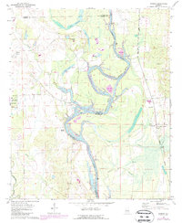
1970 Warsaw
Sumter County, AL
1971 Coatopa
Sumter County, AL
1974 Boyd
Sumter County, AL
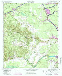
1974 Brewersville
Sumter County, AL
1974 Epes West
Sumter County, AL
1974 Ward
Sumter County, AL
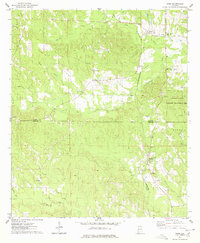
2024 Boyd
Sumter County, AL
2024 Brewersville
Sumter County, AL
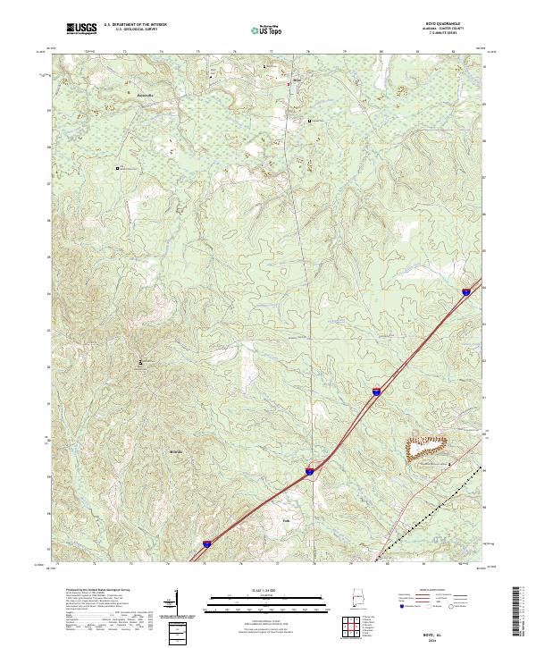
2024 Coatopa
Sumter County, AL
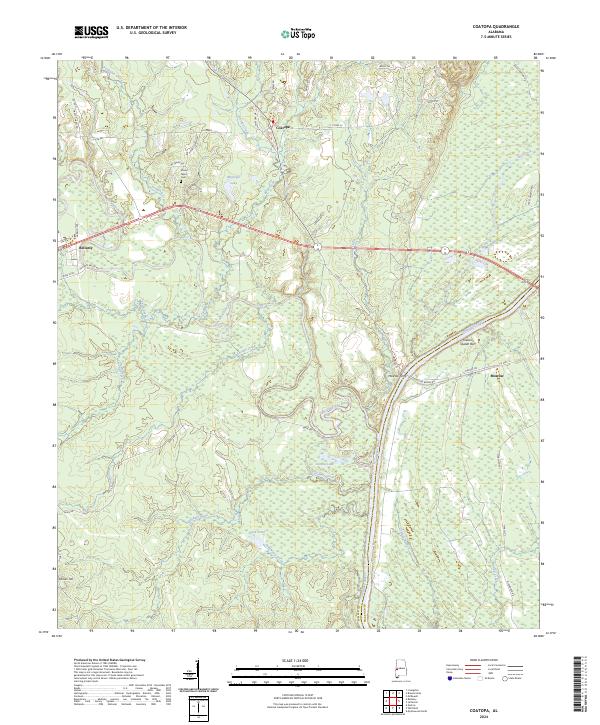
2024 Epes West
Sumter County, AL
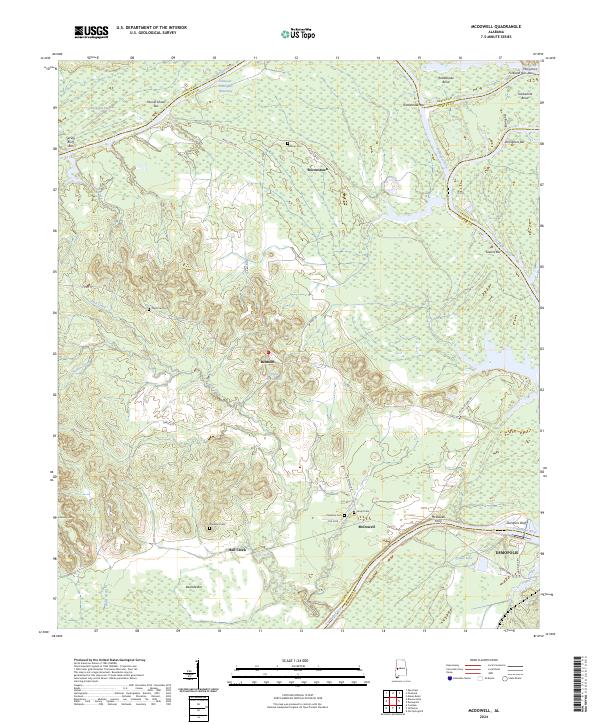
2024 McDowell
Sumter County, AL

2024 Ward
Sumter County, AL
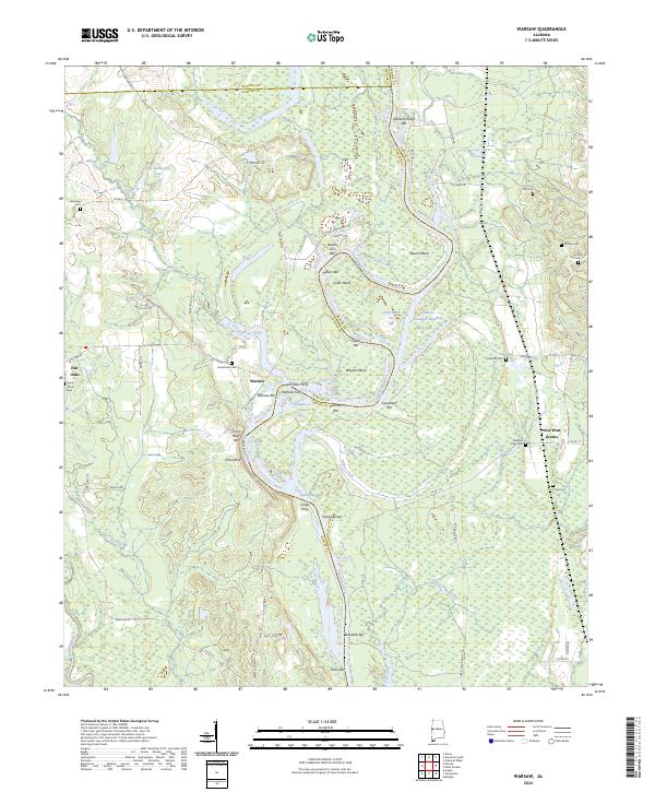
2024 Warsaw
Sumter County, AL