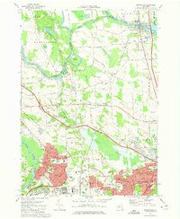
1973 Map of Brewerton
USGS Topo · Published 1974About this map
Oneida Lake and the Oneida River dominate the northern landscape of this 1970s survey, where the historic defense site of Fort Brewerton State Park stands near the river's outlet. The transition from rural to suburban is evident in the southern portion of the map, specifically around North Syracuse, where dense residential street networks like Cherry Tree Cir and Del Harbor Dr press against the natural expanse of Peat Swamp.
Find a feature on this map
109 named features on this map. Tap any name to fly to it.
Don’t see what you’re looking for? This feature index may not catch every label — zoom into the map to look around manually.
Map Details
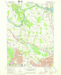
Editions of this 1973 Brewerton Map
2 editions found
Other maps of this area

1895 · Syracuse
USGS Topo · 1:62,500

1898 · Syracuse
USGS Topo · 1:62,500

1900 · Baldwinsville
USGS Topo · 1:62,500

1900 · Fulton
USGS Topo · 1:62,500

1905 · Mexico
USGS Topo · 1:62,500

1938 · Syracuse East
USGS Topo · 1:24,000

1939 · Syracuse West
USGS Topo · 1:24,000

1940 · Brewerton
USGS Topo · 1:24,000

1940 · Cicero
USGS Topo · 1:24,000
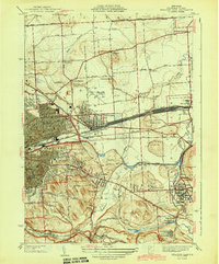
1943 · Syracuse East
USGS Topo · 1:31,680